Chile
About the Experience
TORRES DEL PAINE
We recommend a minimum of five nights,
Six nights are a good option to get a thorough knowledge of the area.
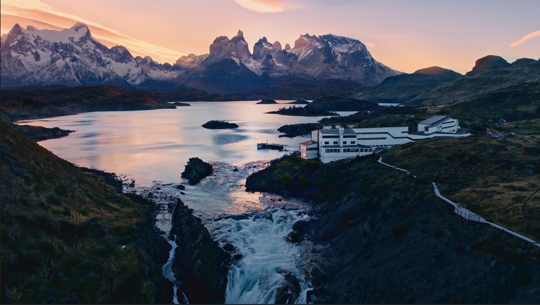
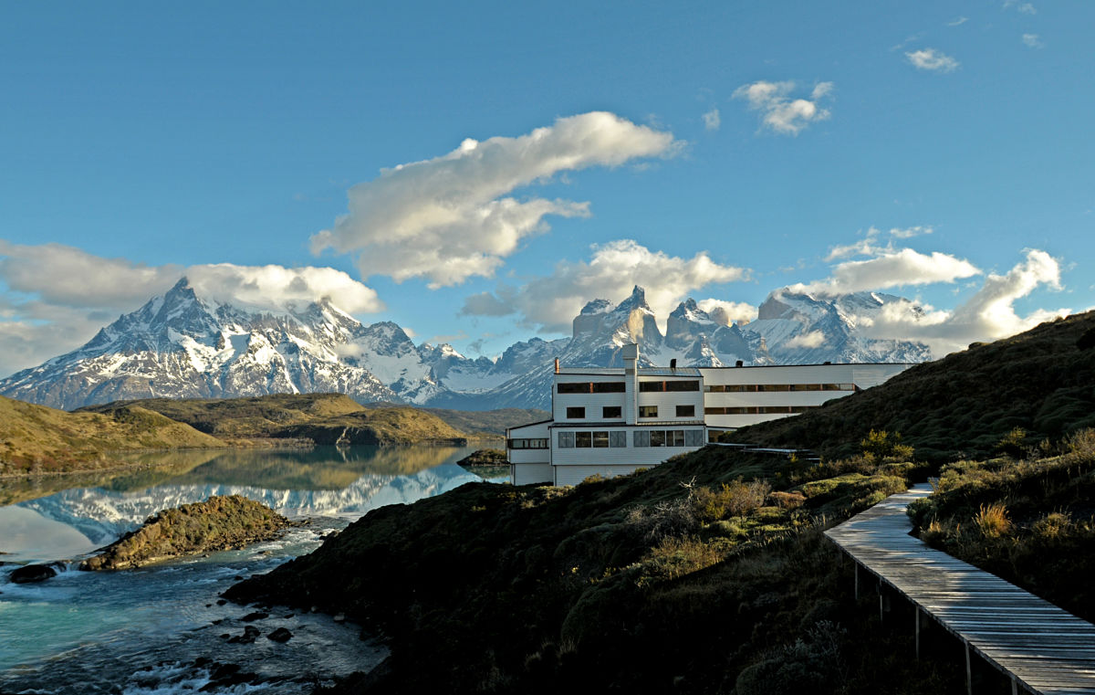
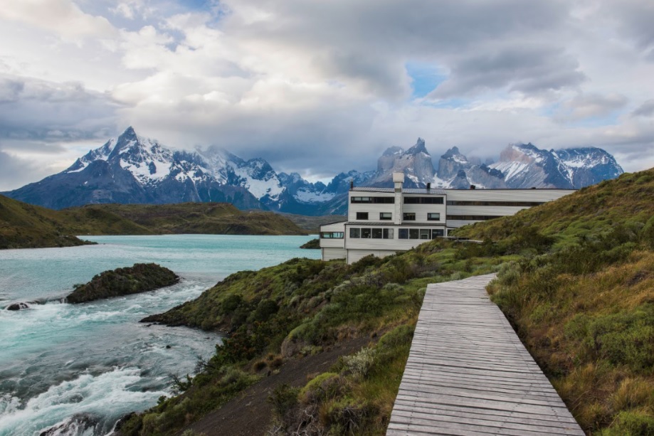
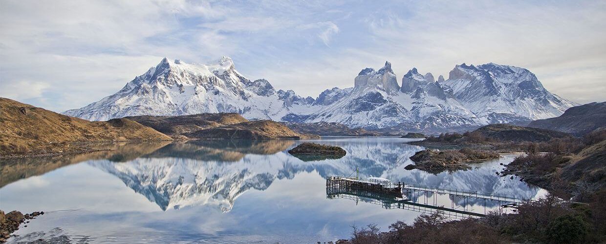
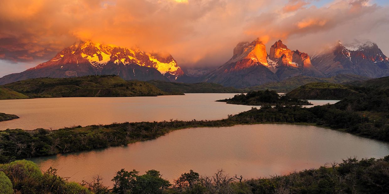
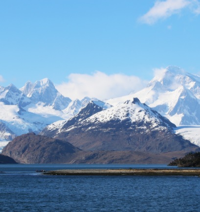
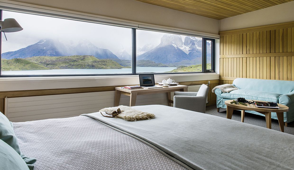
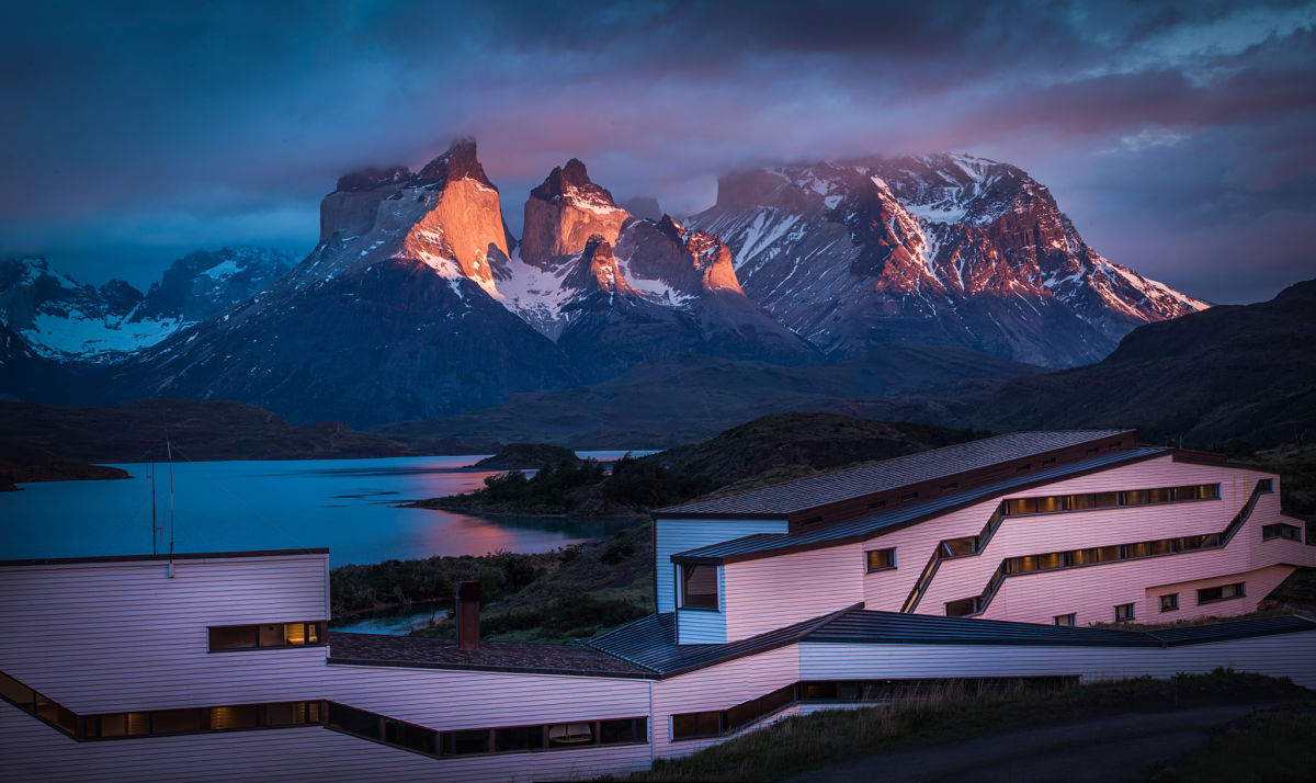
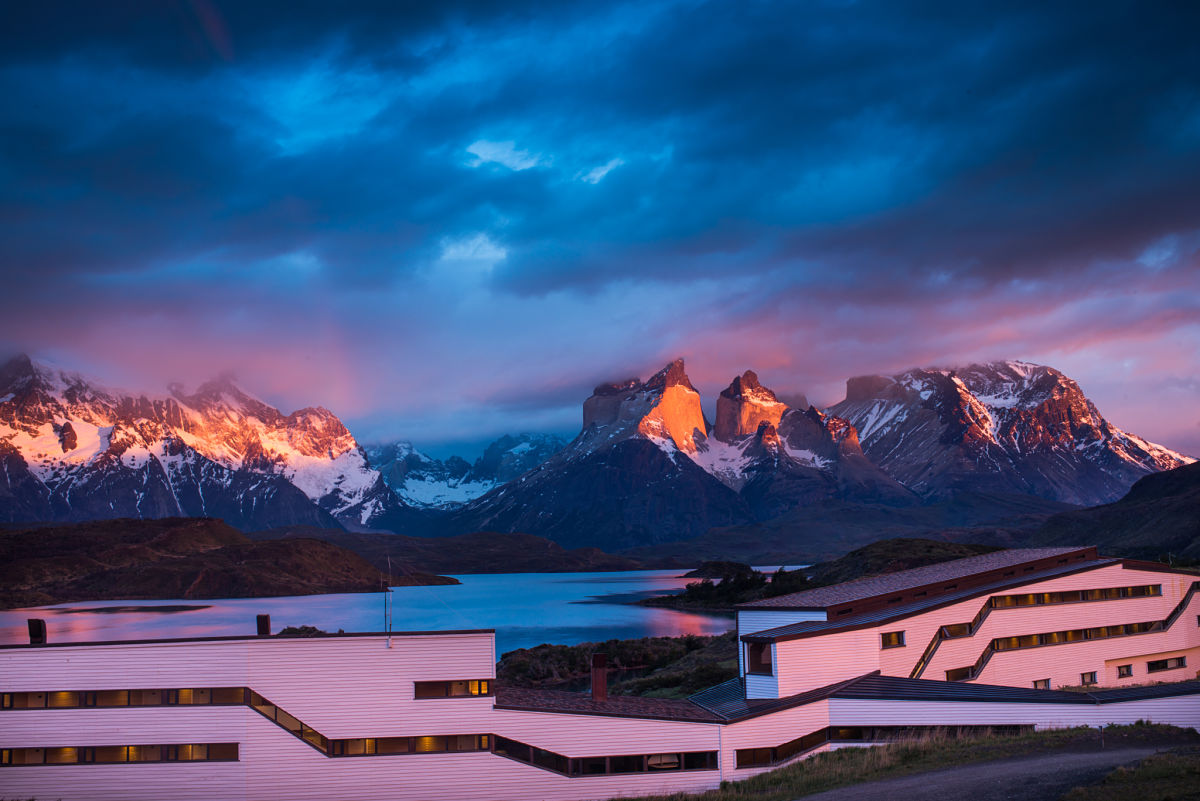
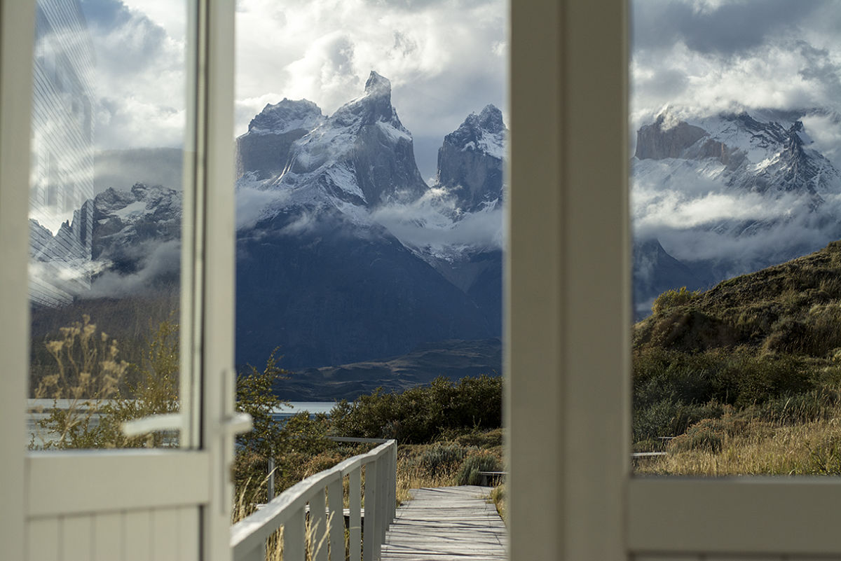
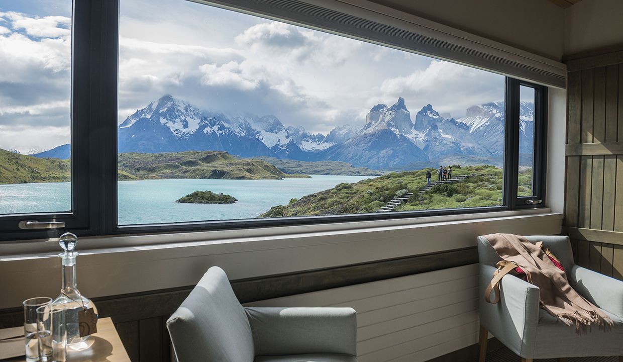
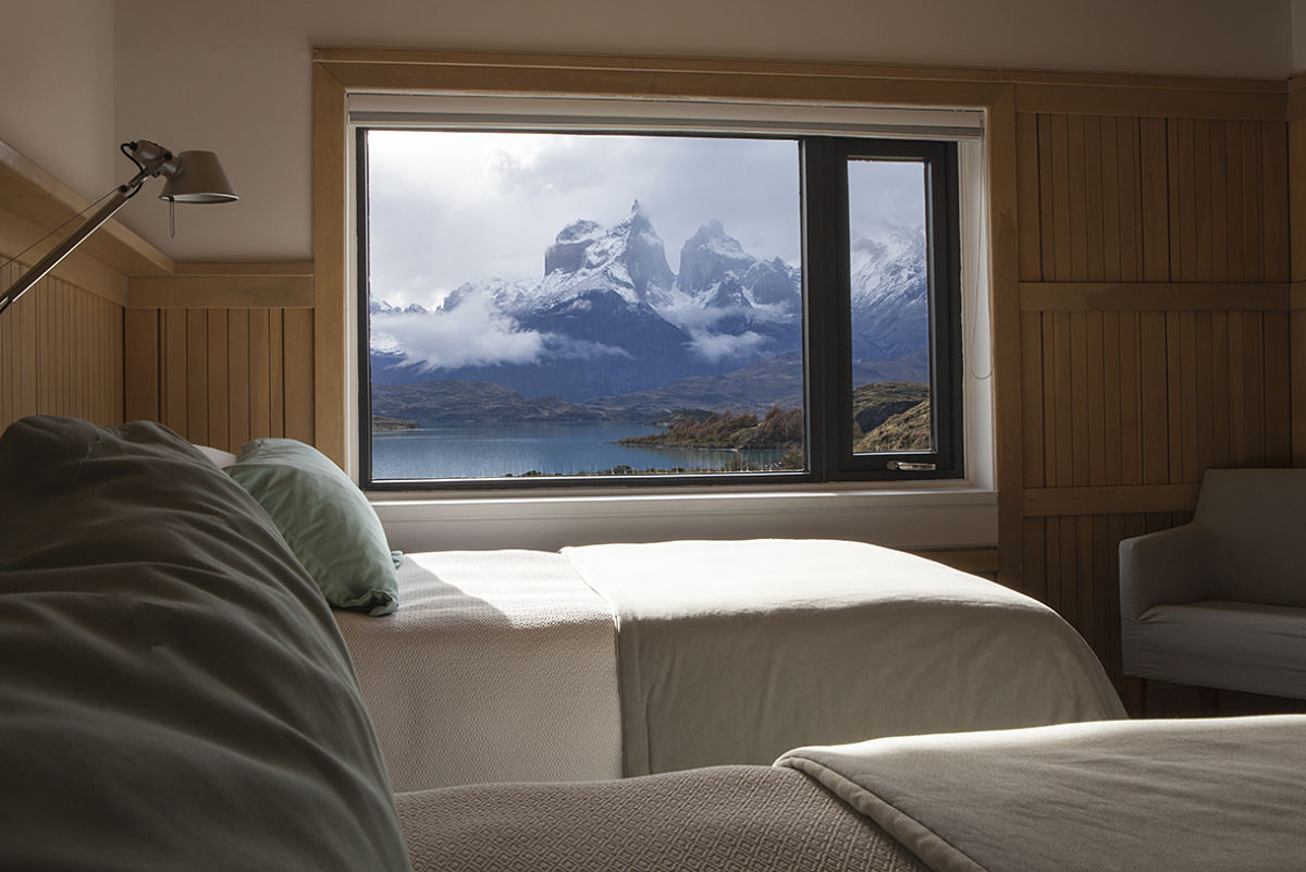
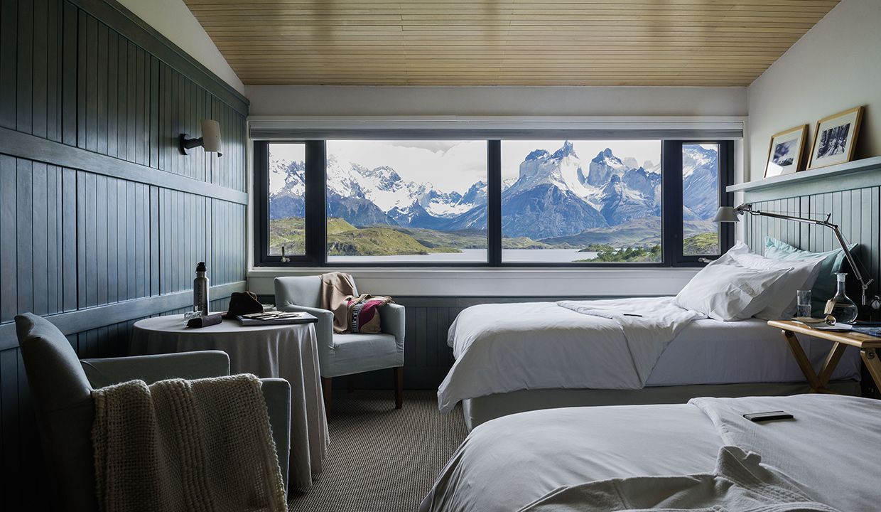
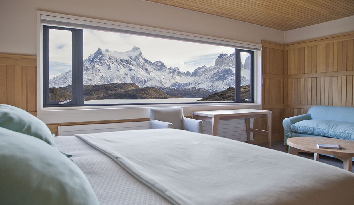
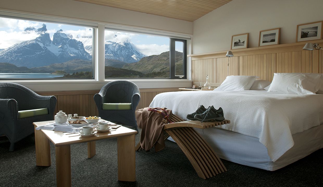
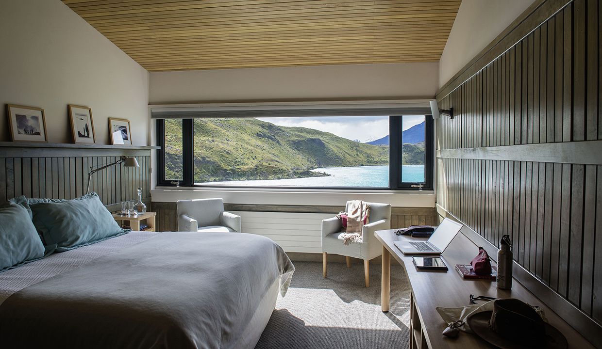
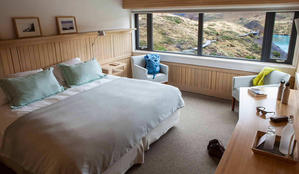
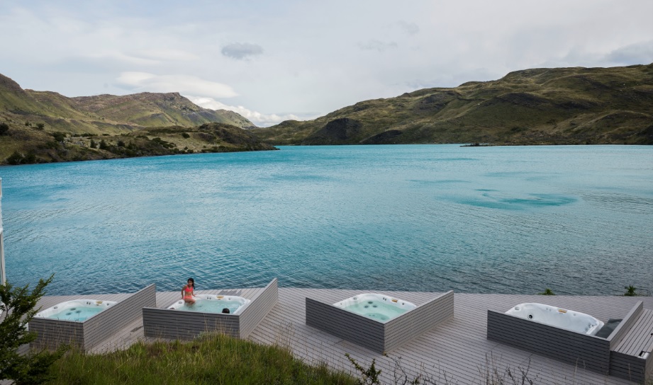
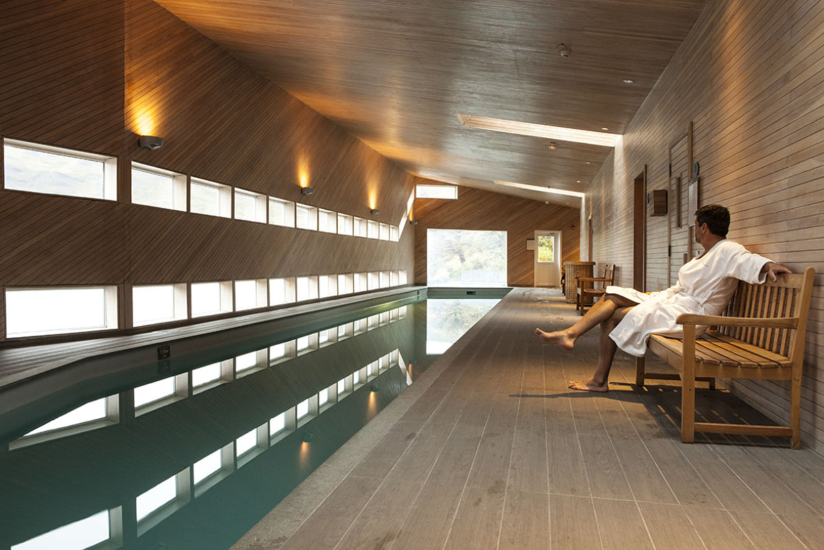
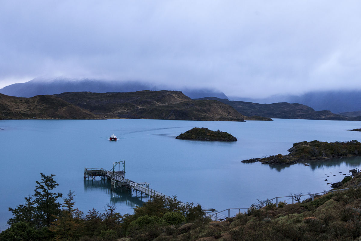
At the heart of Torres del Paine National Park, Explora Patagonia has a privileged location, and unparalleled views, from where to go out and explore the park.
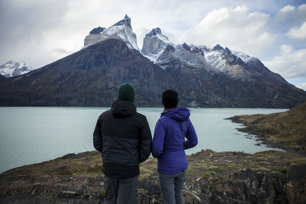
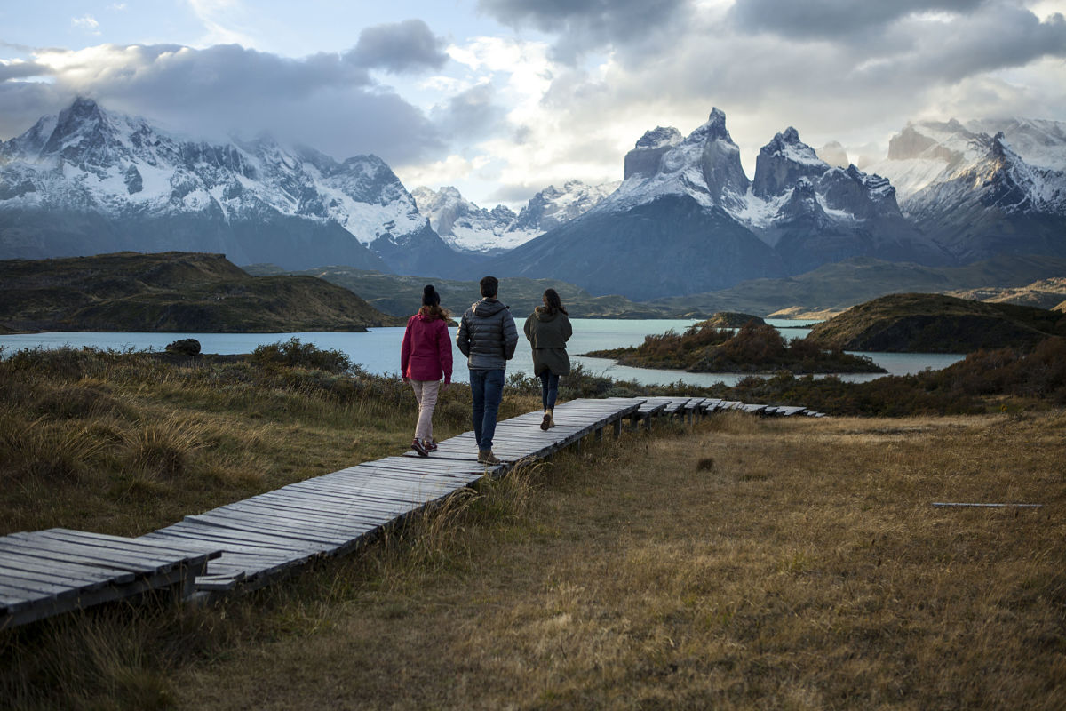
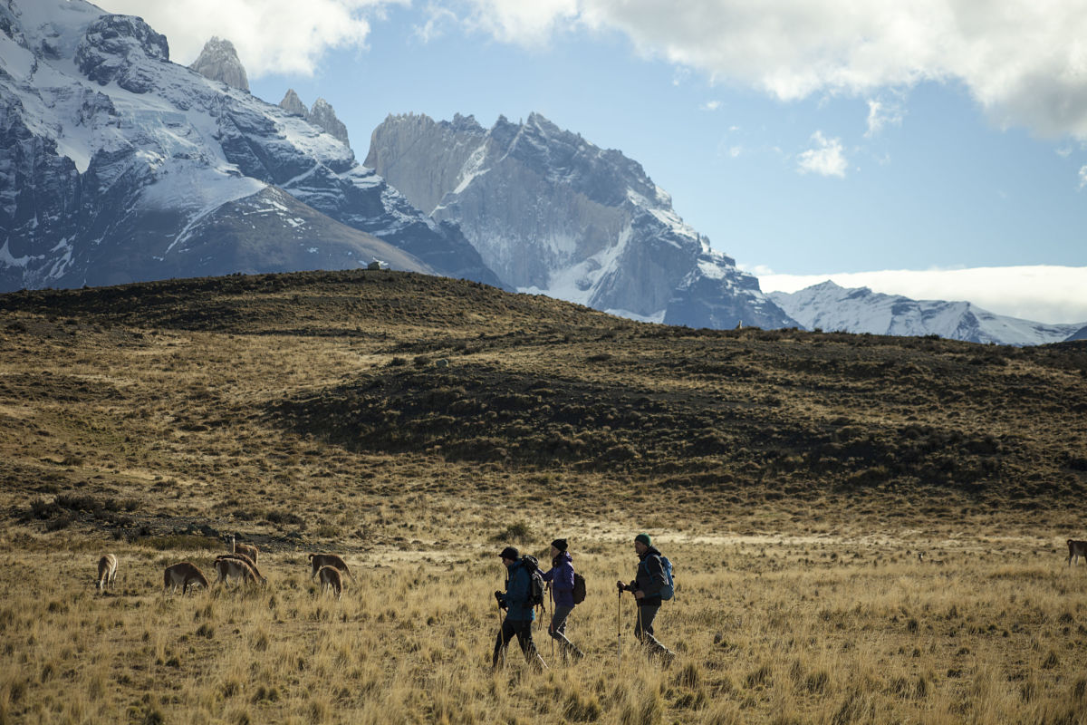
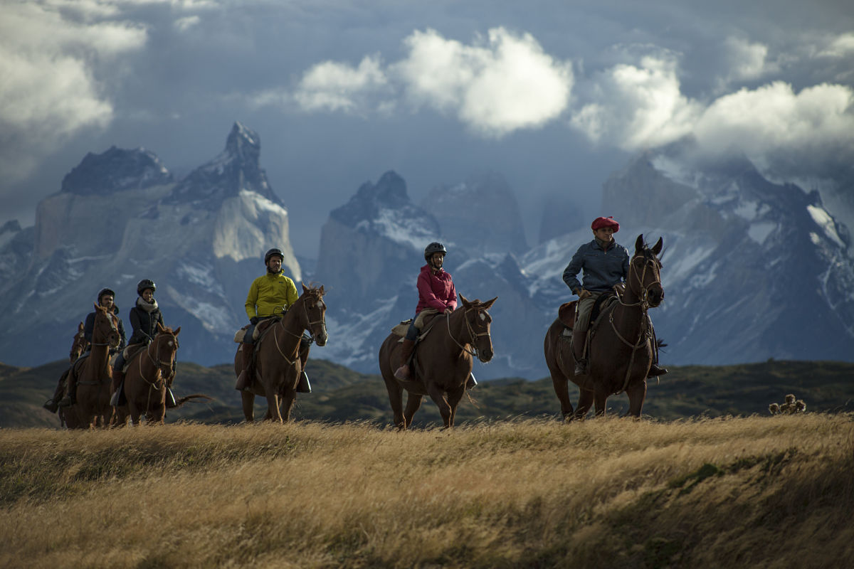
Our treks and horseback rides include mountains, turquoise lakes, glaciers, lenga tree forests, viewpoints, prairies, and rivers, in addition to the most iconic spans of the trekking circuit known as “W”.
With over 40 explorations, we cover all areas in the Park either on foot, horseback, or by van.
Trip Itenarary
GEOGRAPHY
The Torres del Paine National Park
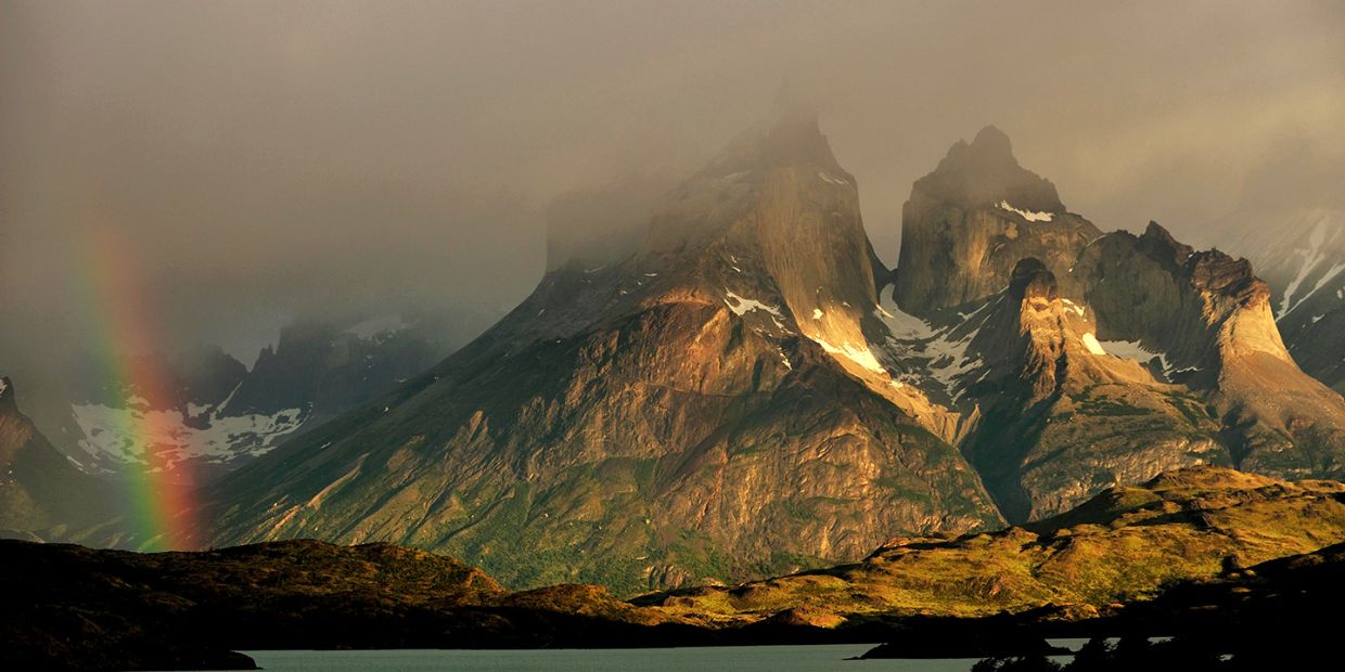
The complex geography of the park, which extends over 242,242 hectares, has been the result of successive geological and glacier processes. The geological phenomena created the mountainous formations, such as the Paine Towers (Torres del Paine), a group of pillars composed of magma and granite, whose peaks reach up to 3,000 meters in height, and the Paine Horns, that rise up over 2,000 meters.
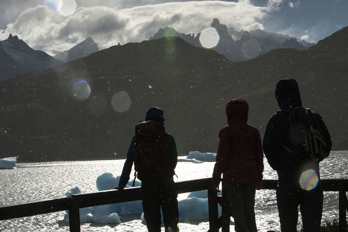
The landscape was forcefully modeled by the last glaciers and has been continually modified by the flows of water. Its largest glaciers are the Grey, the Tyndall, and the Dickson, all hanging from the Southern Patagonian Ice Fields.
For its beauty and biodiversity, the park was declared a UNESCO Biosphere Reserve in 1978.
FLORA AND FAUNA
The Torres del Paine National Park, itself, is the natural habitat for 133 types of birds, among them condors, ñandúes, flamingos, bandurrias, black neck swans, eagles, loicas and cachañas.
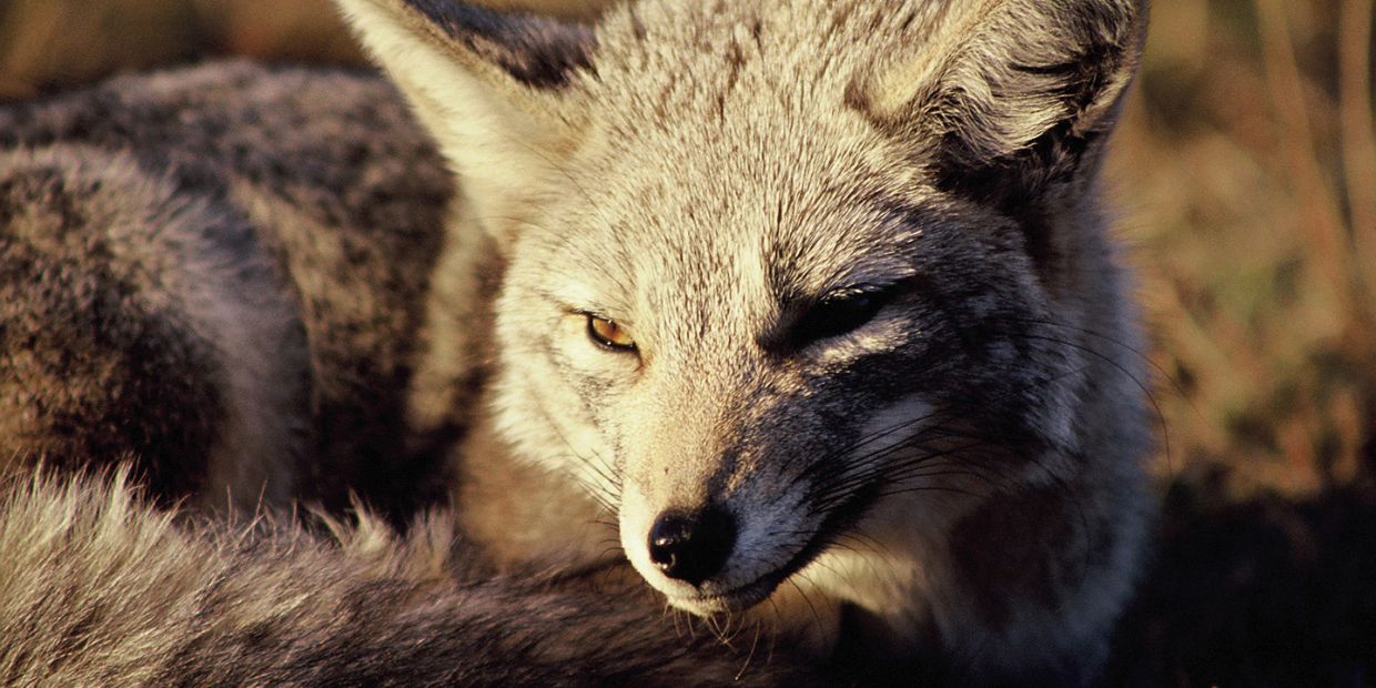
25 mammals species can also be found, some in numbers and visible at short range, such as guanacos and foxes; others in danger of extinction and visible only in certain areas such as the huemul and the puma.
The Torres del Paine National Park is the natural habitat of the puma of the species Concolor Pearsoni, a solitary and territorial cat. Its excellent sense of smell and night vision allows it to hunt a large variety of prey: rodents, rabbits, guanacos, pudu, and huemules. Like all of its kind, it is a skilled climber and can reach high speed in a short distance.
Generally they inhabit mountainous areas, but in winter (May-August) heavy snows drive them down into the valleys, producing the many sightings. The puma is currently considered a threatened species and as such, is protected by law. In Torres del Paine, the population density of the puma has grown in the last two decades and is one of the highest in the country, reaching 12 pumas per 100 km2.
Around 2,500 plant species exist, from very simple forms (algaes, lichens, mosses and mushrooms) to leafy trees (lenga, coihue, alerce and ñirre), with intermediary forms such as ferns, grasses and bushes. From the plains to the leafy forests of the mountains, the flora is intense and varied with many endemic species.
USEFUL INFORMATION
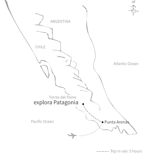
Connecting to Punta Arenas by way of Santiago, Chile: Upon arrival to Santiago de Chile’s International Airport, you must connect to the city of Punta Arenas, approximately three and a half hours away. From Punta Arenas Airport, you will be driven to explora Patagonia by a member of our team, approximately 4 and half hours away and according to a pre-set schedule, with a stop to rest and have lunch.
THE CLIMATE
Temperatures in the Torres del Paine National Park are constantly changing. We can experience all 4 seasons in one day.
There are two main, distinctive climates, which dominate the area. To the west of the Andes, a cold mountain climate predominates (humid), while to the east lays a cold grassland climate (dry).
There are medium intensity winds of around 20 km/h – which can produce gusts of up to 110 km/h–, constantly changing the weather within the park.
In just minutes, the strong winds can darken the sky or disperse the storm clouds, making your Patagonia travel a true adventure.
Partners

Photo Gallery
About the Experience
RAPA NUI: Easter Island
We recommend a minimum of five nights, to enjoy an exploration experience that will show you what Rapa Niu is like.
Six nights are a good option to explore all places and enjoy the local culture.
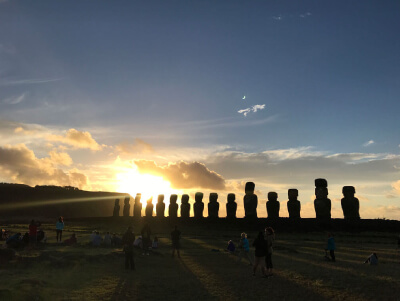
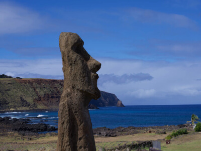
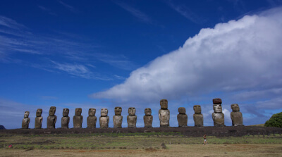
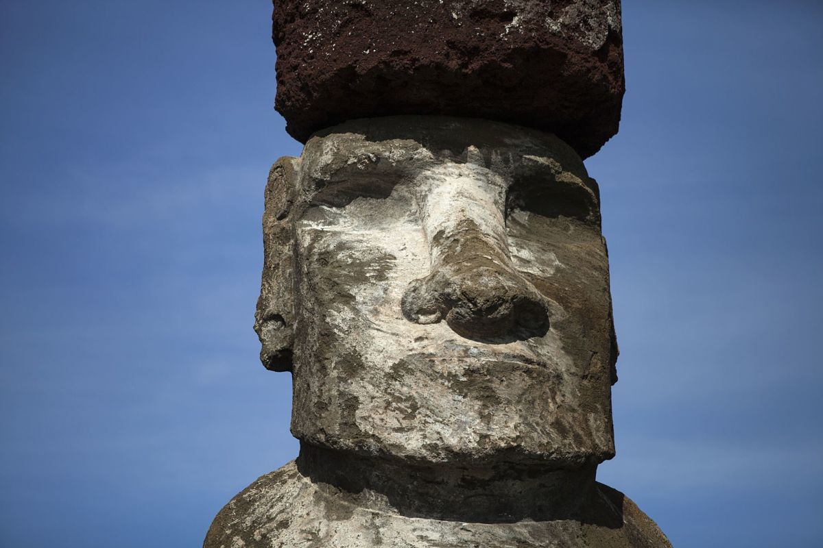
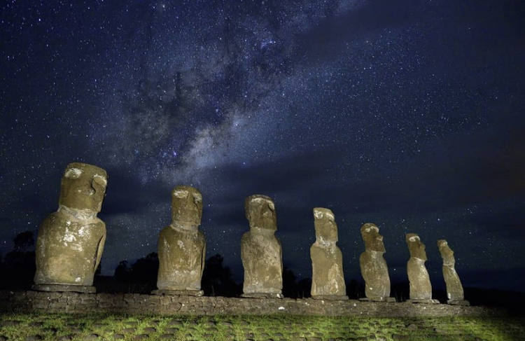
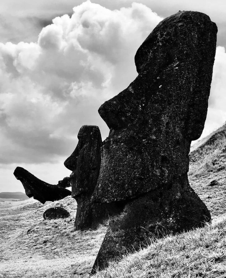
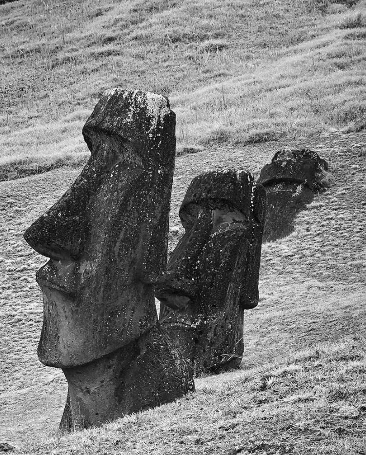
Rapa Nui, the most remote inhabited island on our planet, is located in the middle of the Pacific Ocean. It has been the home of an enigmatic civilization whose traditions have charmed travelers for over 200 years.
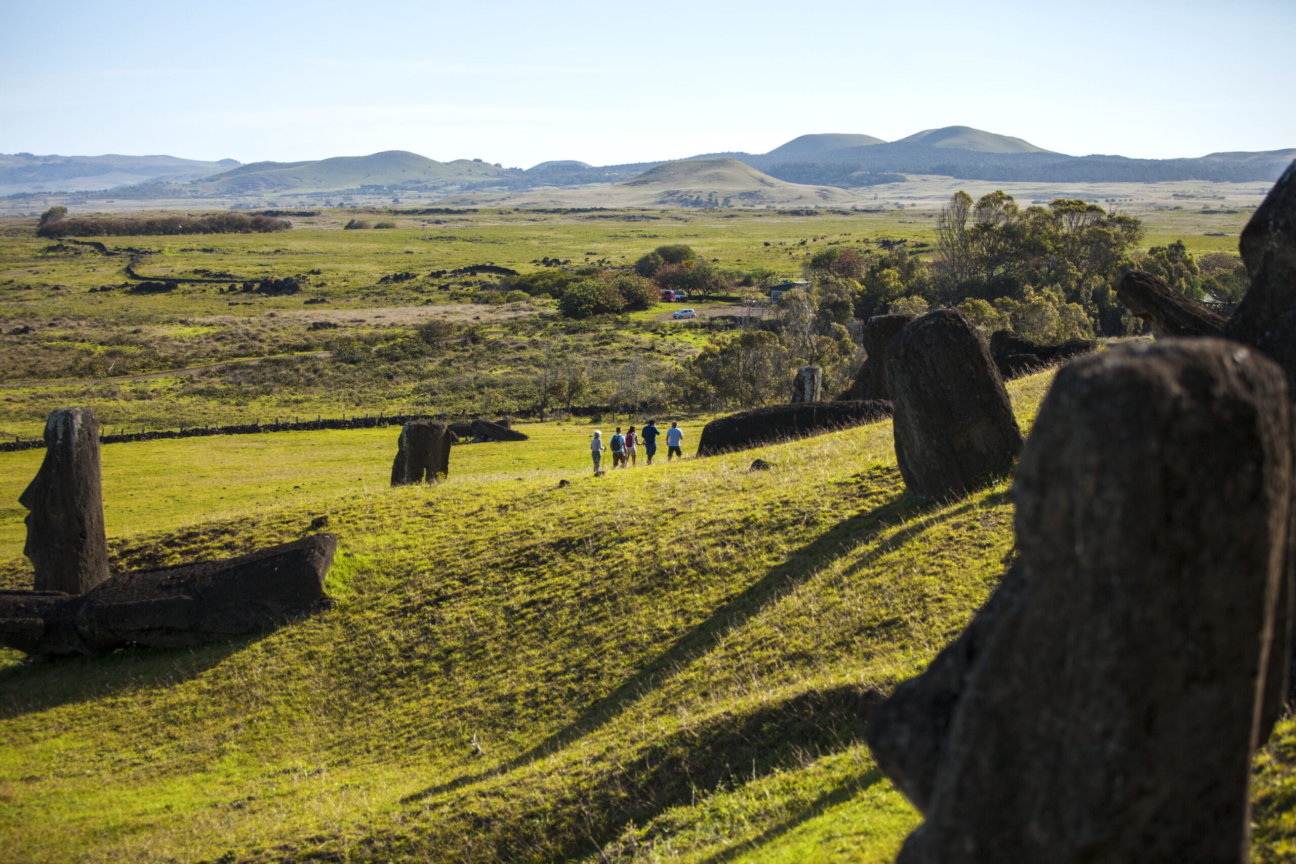
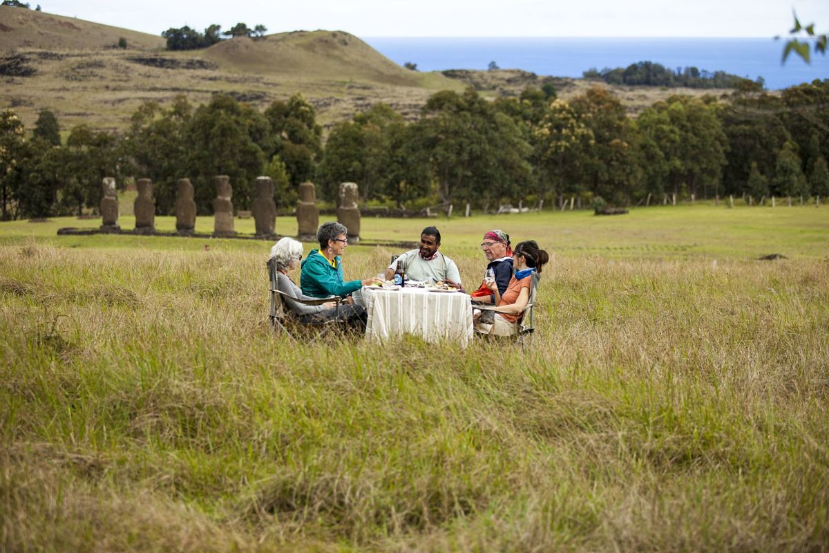
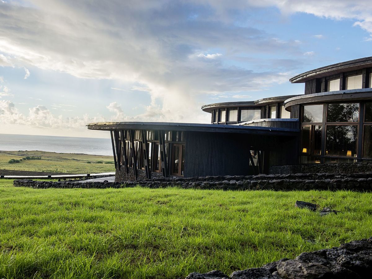
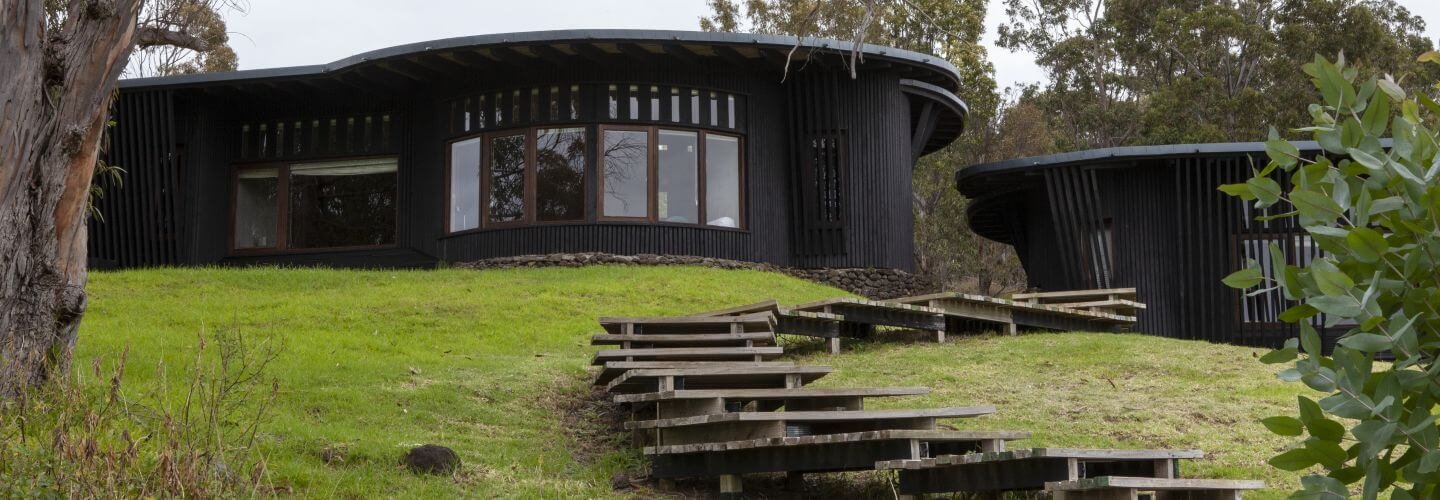
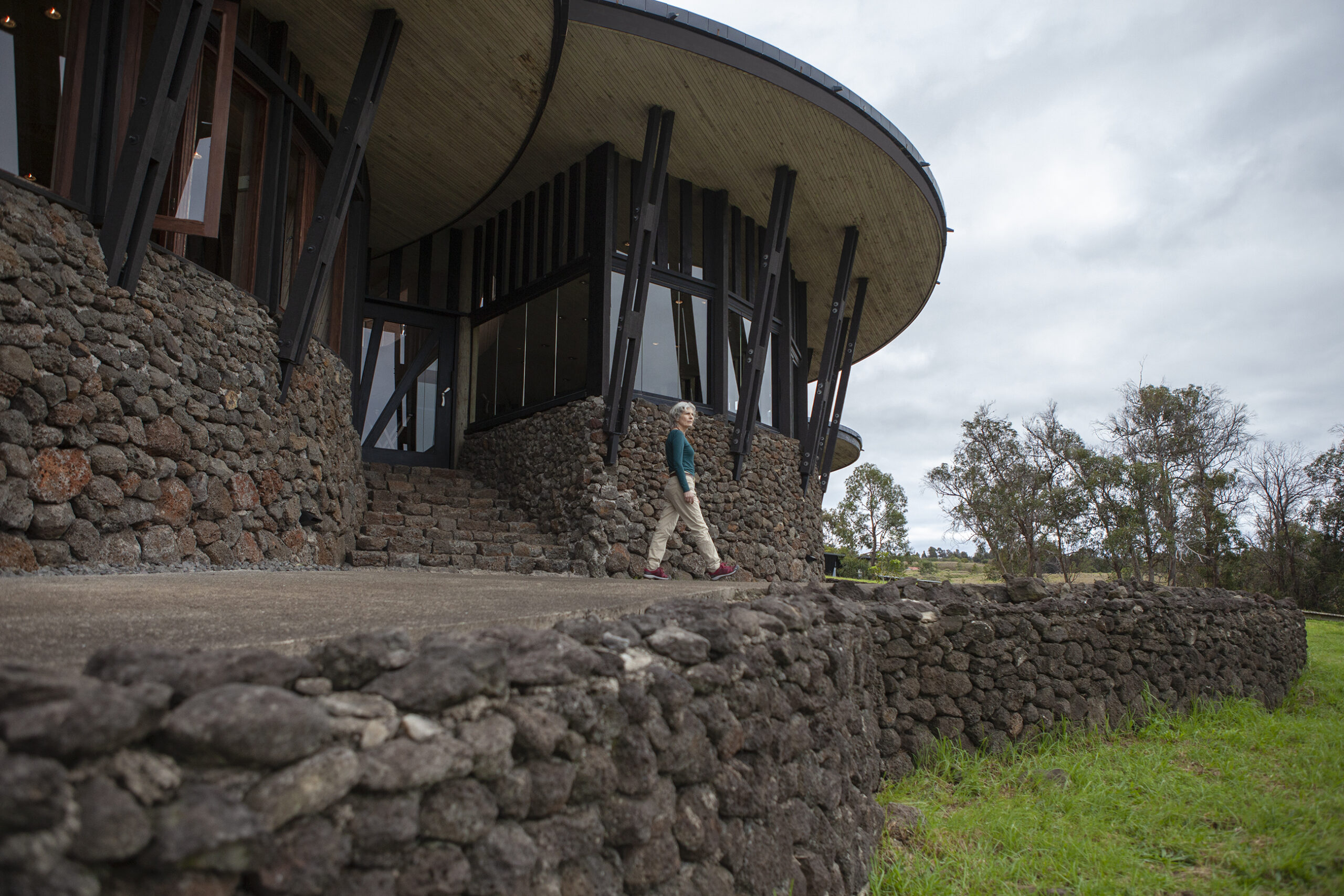
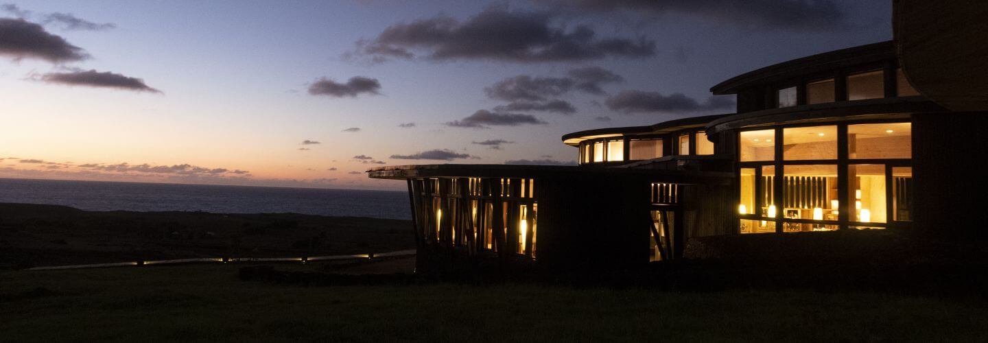
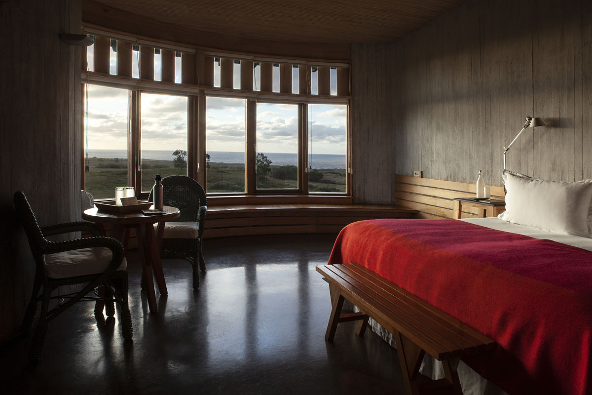
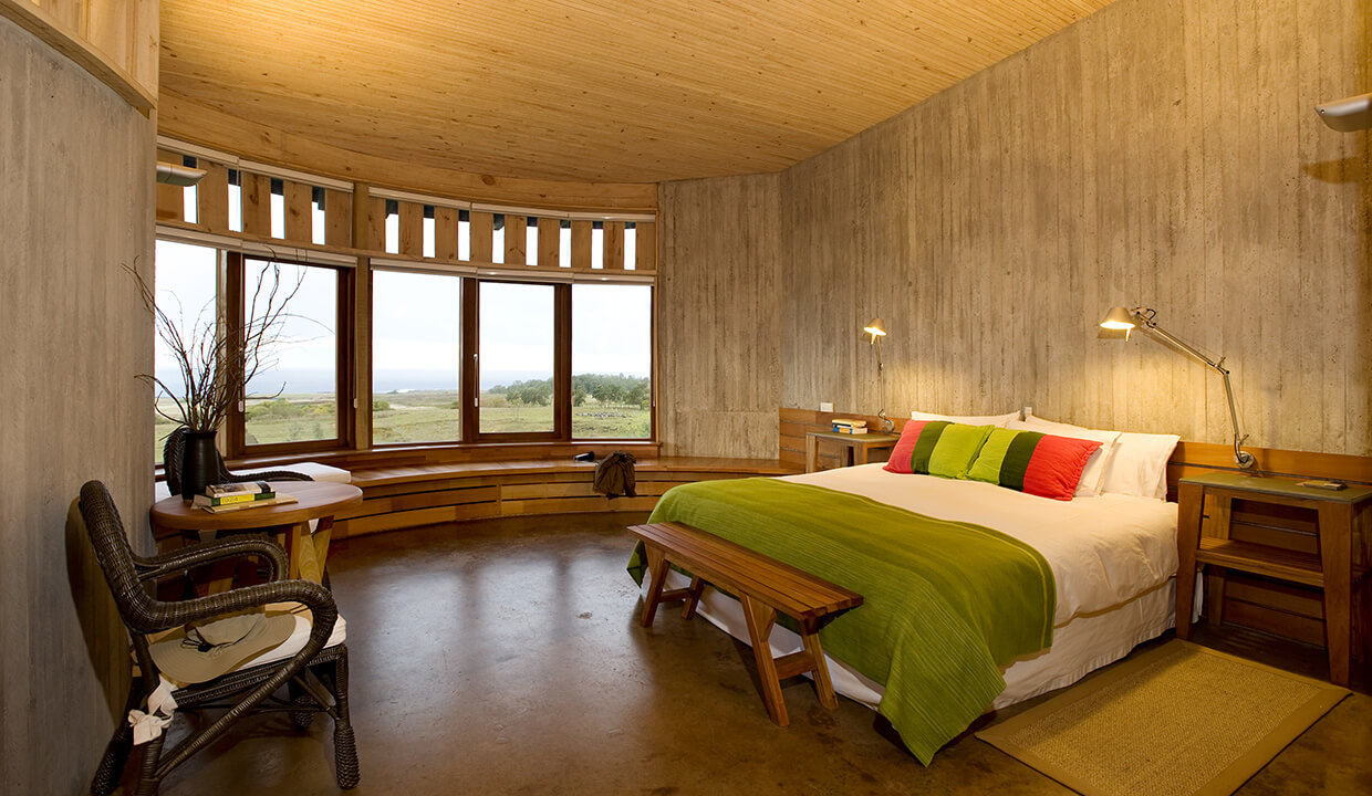
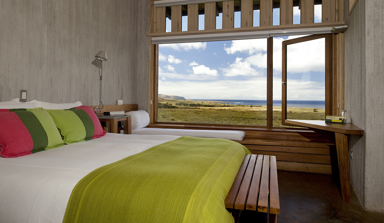
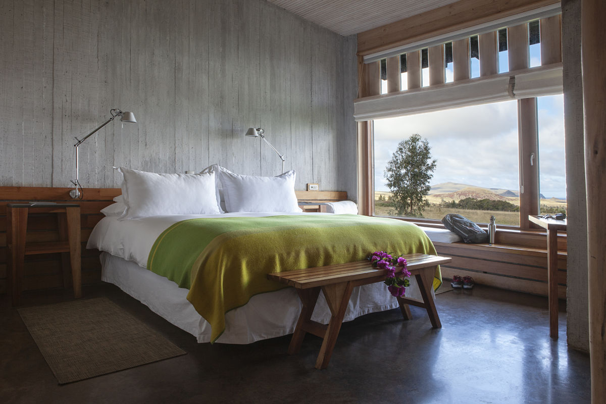
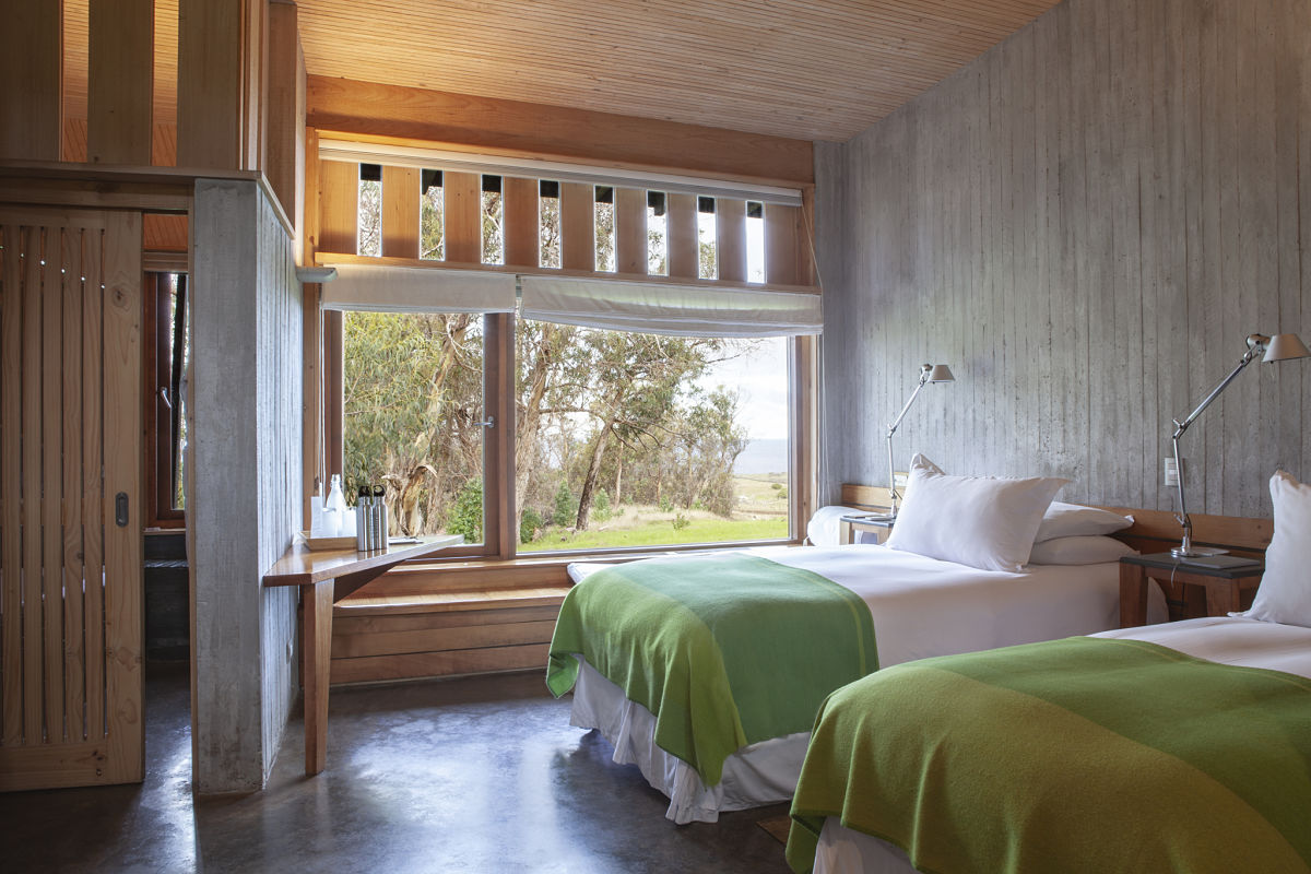
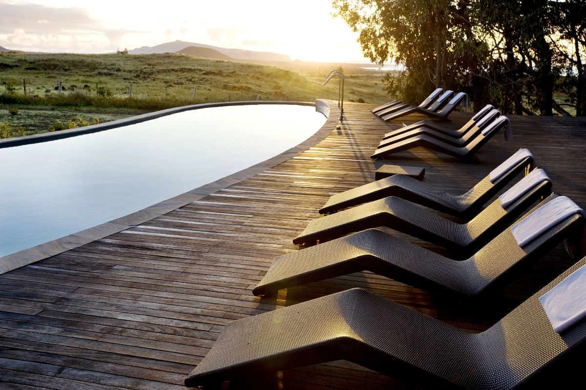
Explora Rapa Nui is surrounded by trees, prairies, and views of the Pacific Ocean. All our programs include accommodations, transfers to and from the airport, meals, and drinks, and a selection of more than 30 exploration routes designed by our outdoor team.
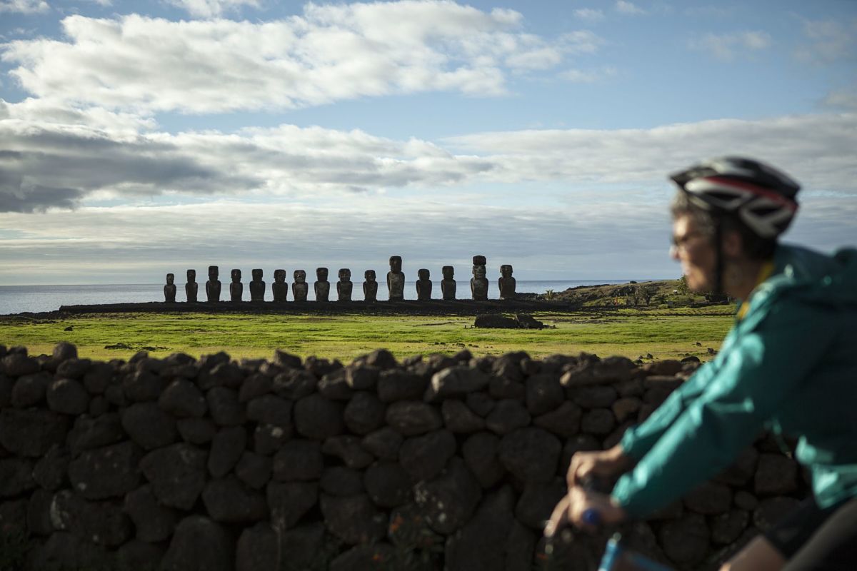
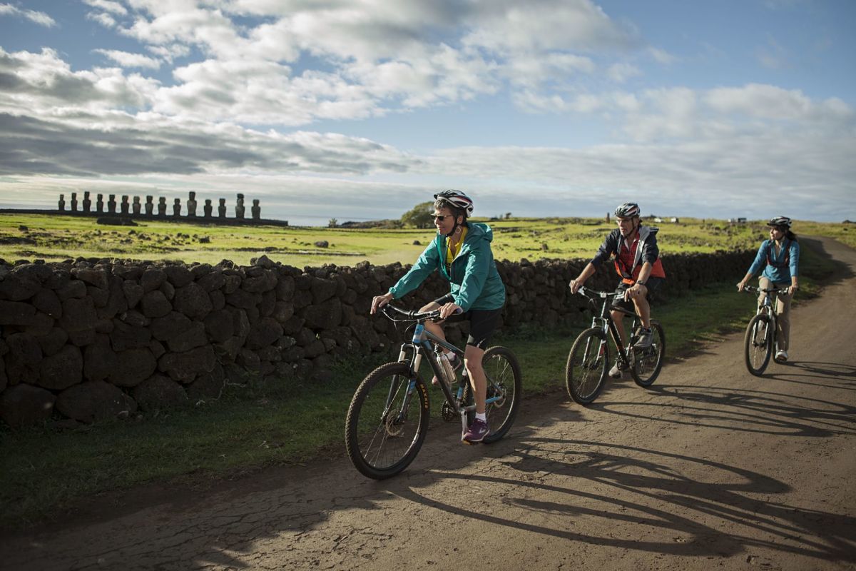
Travelers can go out and explore either hiking or biking; in a van; through the ocean; or combining any of these options.
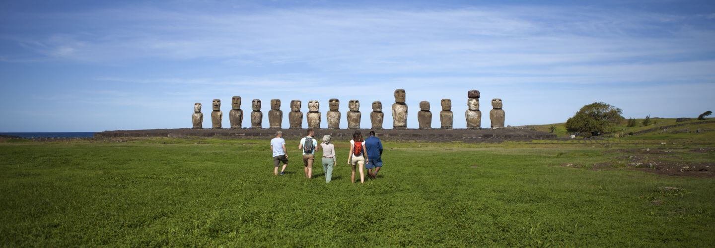
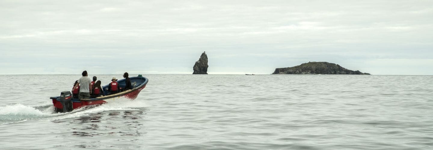
Our hikes, bicycle explorations, and snorkeling and diving activities are the perfect choices to get to know Rapa Nui’s history, culture, and landscapes, visiting both the most iconic and off-the-beaten-track sites.
Trip Itenarary
GEOGRAPHY
A HUGE VOLCANIC CONE
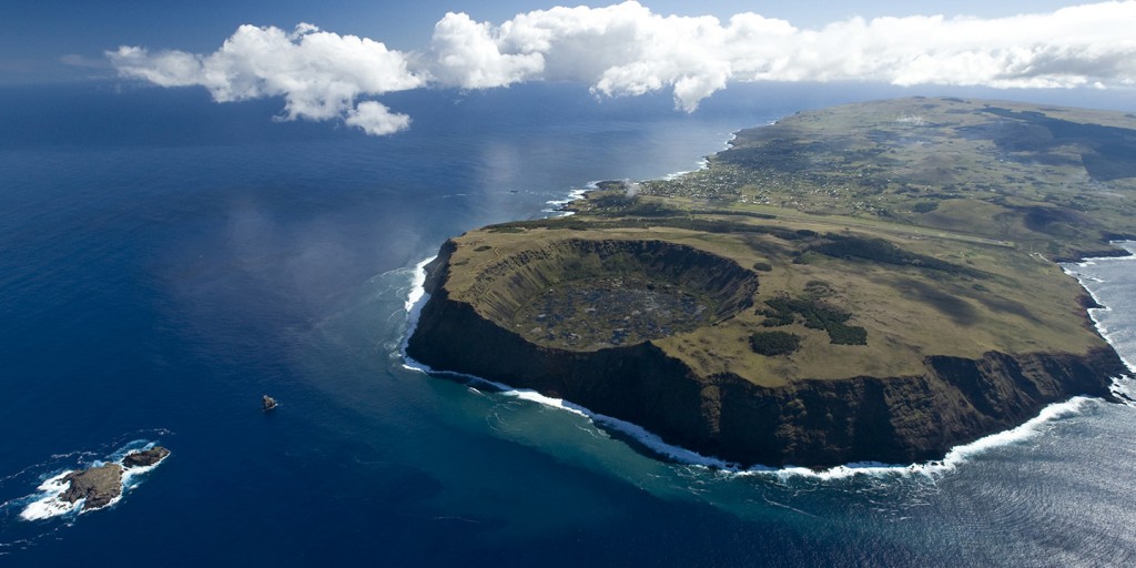
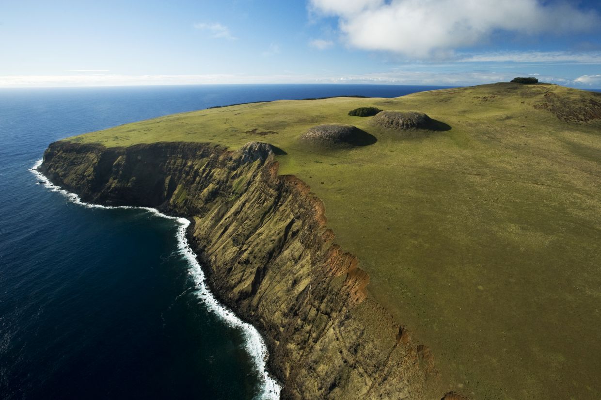
Three million years ago, in the middle of the Pacific Ocean at about 3,000 meters under the sea, a huge volcanic cone began to rise. From this, Poike was born, the first of the three great extinct volcanoes and eastern boundary of the island. Five hundred thousand years later, a second eruption to the southwest gave rise to Rano Kau.
Rapa Nui is located on the tectonic micro plate of Easter Island, right at the intersection of the Nazca and South American plates. The subduction occurring between these plates causes the island to move in the direction of the Chilean coast at a rate of 9 cm per year.
Finally, 300,000 years ago, Terevaka erupted, completing the northern tip of a triangle with 166 km2 of surface area and a maximum width of 12 km.
Eruptions ceased about 3,000 years ago, -there is currently no active volcano on Rapa Nui- after producing nearly 70 secondary volcanic cones. The flowing lava gave birth to the gentle slopes that form the current topography of the island. Only the final 511 meters of this immense mountain rise above the surface of the sea.
FLORA AND FAUNA
The presence of birds and marine wildlife has always been superior to that of landborne mammals. Distinguishing birds include the Tiuque, a falcon introduced from South America, the Perdiz Chilena, an introduced South American partridge, the Gorrión, the Makohe, and two migratory species of Tropic bird.
The marine wildlife is made up of 150 species belonging to more than 60 different families. One in four species is visible only in this corner of Planet Earth.
As a product of the introduction of invasive species and overexploitation, tree and shrub species became extinct or were reduced to almost zero. Such was the case of the Toromiro, Rapa Nui Palm, Sandalwood, and the Toi.
The Cattail, a stemmed plant of American origin that grows along the ponds in the basins of the extinct volcanoes, has succeeded in surviving since a few thousand years ago and is utilized in many of the island’s garments.
USEFUL INFORMATION
How to arrive
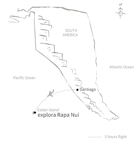
From Santiago, Chile, you must take a connection flight to Isla de Pascua (Rapa Nui) with a 5-hour duration. From Mata Veri airport, our staff will transport you by van to explora Rapa Nui, a journey of only 15 minutes.
From Tahiti (Papeete), you must take a connection flight to Isla de Pascua (Rapa Nui) with a 5-hour duration. From Mata Veri airport, our staff will transport you by van to explora Rapa Nui, a journey of only 15 minutes.
Check-in and check-out
Check-in: We recommend arriving at the hotel by midday to take a half-day exploration during the afternoon.
Check-out: This day is intended to be an exploration day. When leaving in the morning for a half-day exploration, travelers need to check-out and explora will take care of their luggage. Check-out must be before noon.
LOCAL FESTIVALS OF RAPA NUI
This festival is the most representative of the Rapa Nui culture. During 10 days in February, the inhabitants and travelers that visit the island are divided into competing teams. The team with the highest score after a collection of competitions is the winner, and their candidate is declared Queen of Tapati.
There are competitions such as the Vaka Tuai, in which each team must make a traditional Polynesian canoe out of cattails, and navigate with their candidate for a queen, dressed in ancestral fashion; the Takona, in which the participants paint their bodies with natural pigments and then describe the meaning of their paintings in front of the community; the Tau’a or triathalon; and the Haka Pei, in which the competitors are launched down a hill on toboggans fashioned from banana tree trunks, reaching speeds of 80km/h.
Partners

Photo Gallery
About the Experience
ATACAMA
We recommend a minimum of five nights, for an exploration experience in which you can really know what Atacama is about
Six nights are a good option to get a fuller sense of the area.
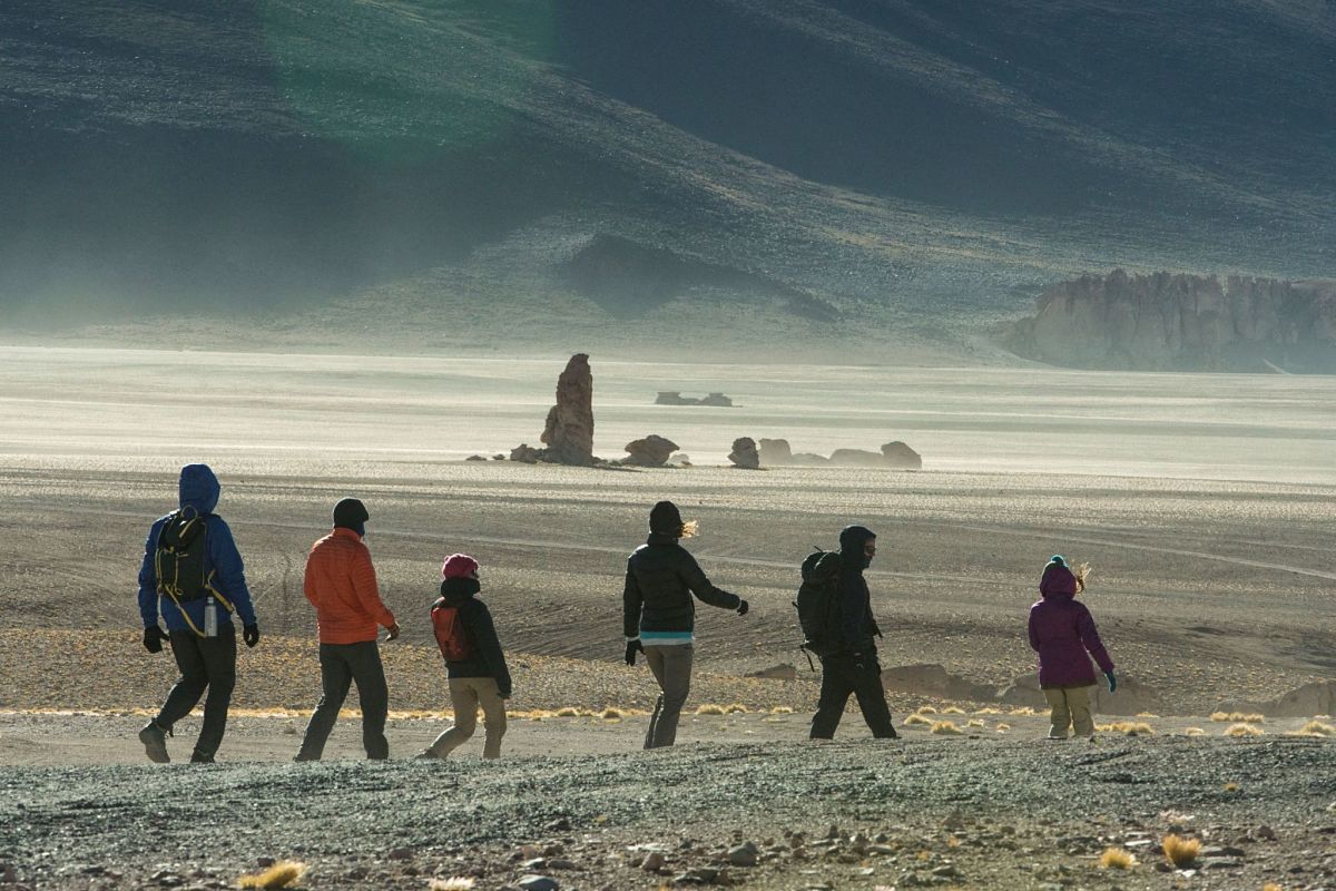
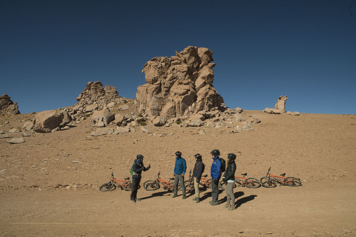
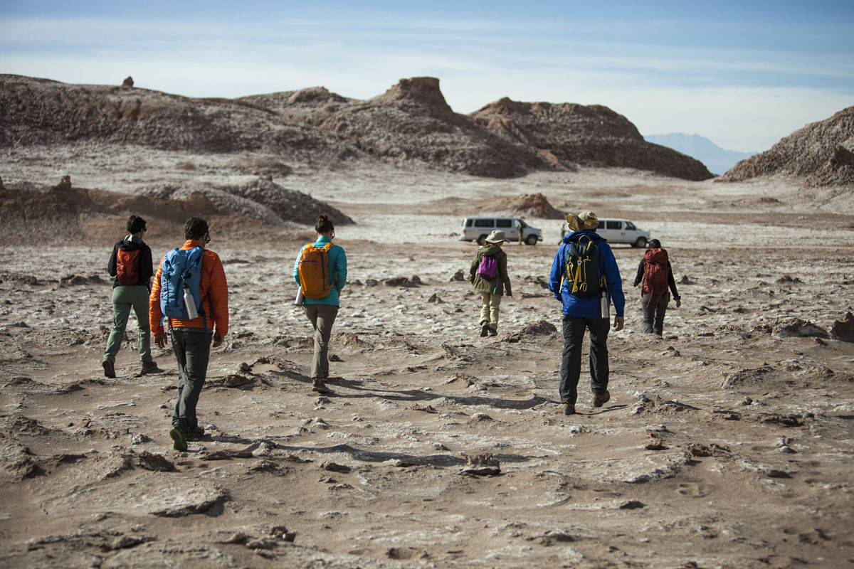
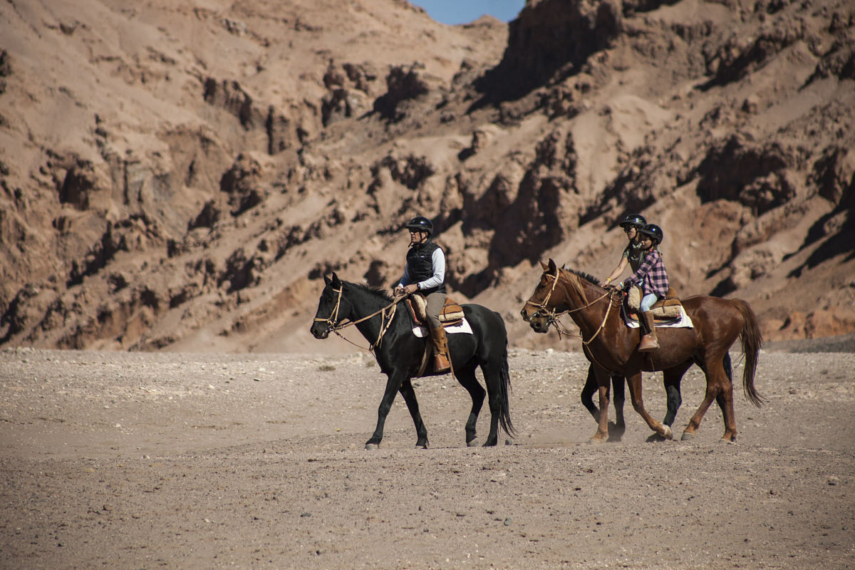
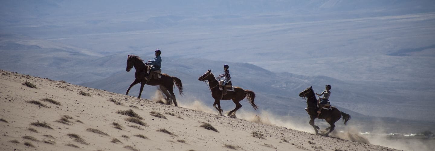
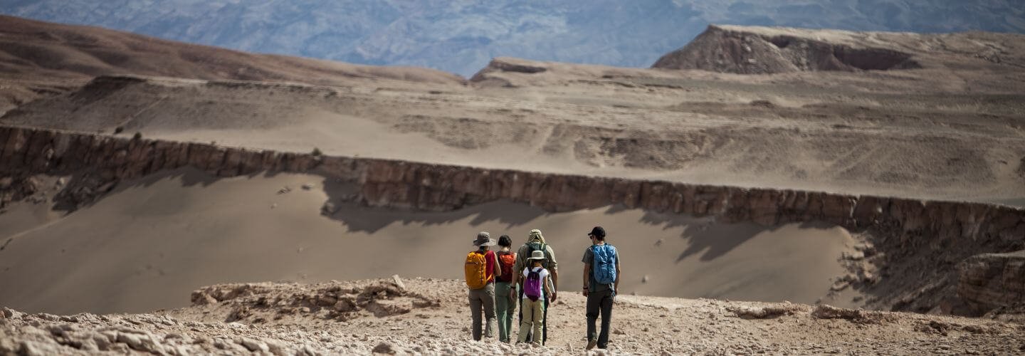
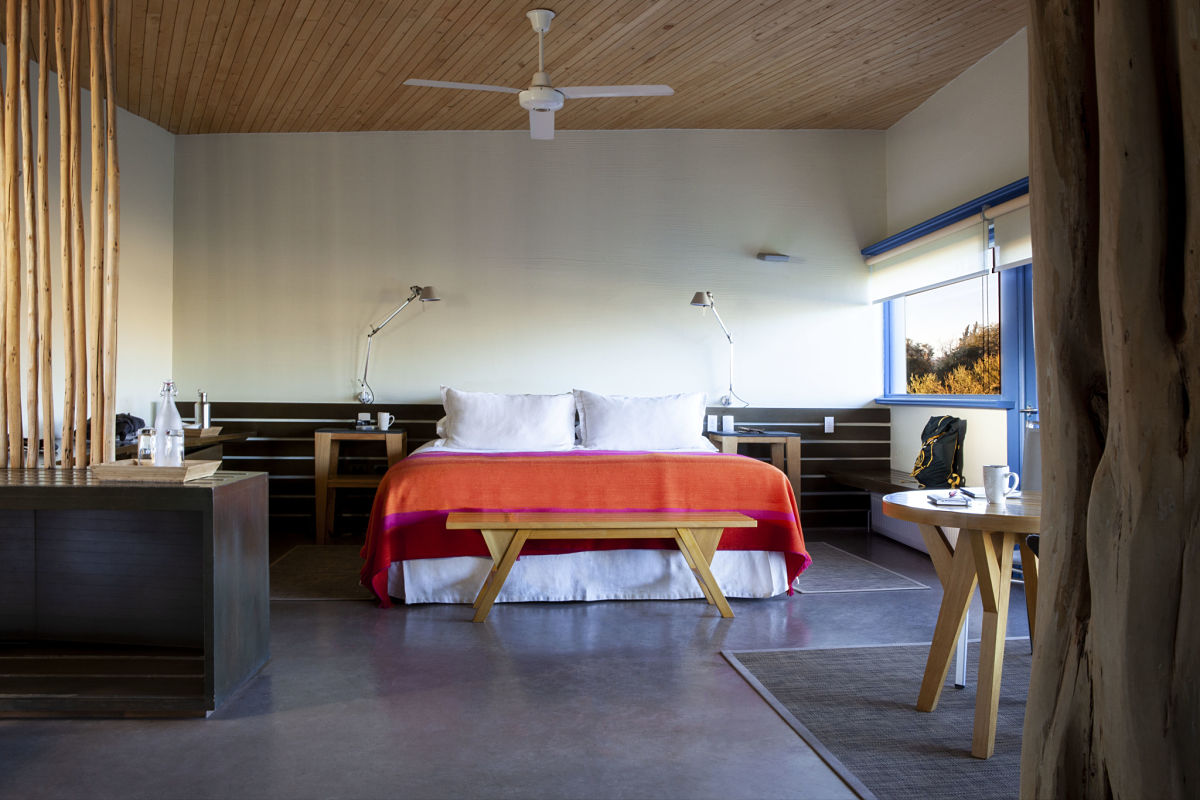
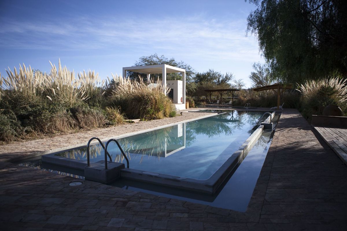
Explora Atacama was designed as the perfect base from where to explore the desert, the Andes highlands and many surrounding natural areas. Horseback riding through red soil esplanades, cycling through the Andes highlands, reaching summits of more than 5,000 m.a.s.l. (16,404 f.a.s.l.) or taking it easy in the Puritama hot springs are some of the experiences you can enjoy.
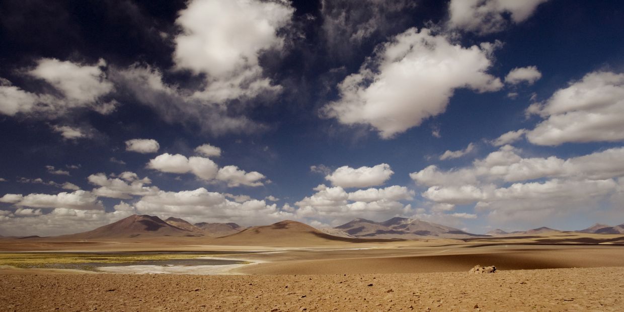
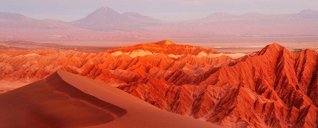
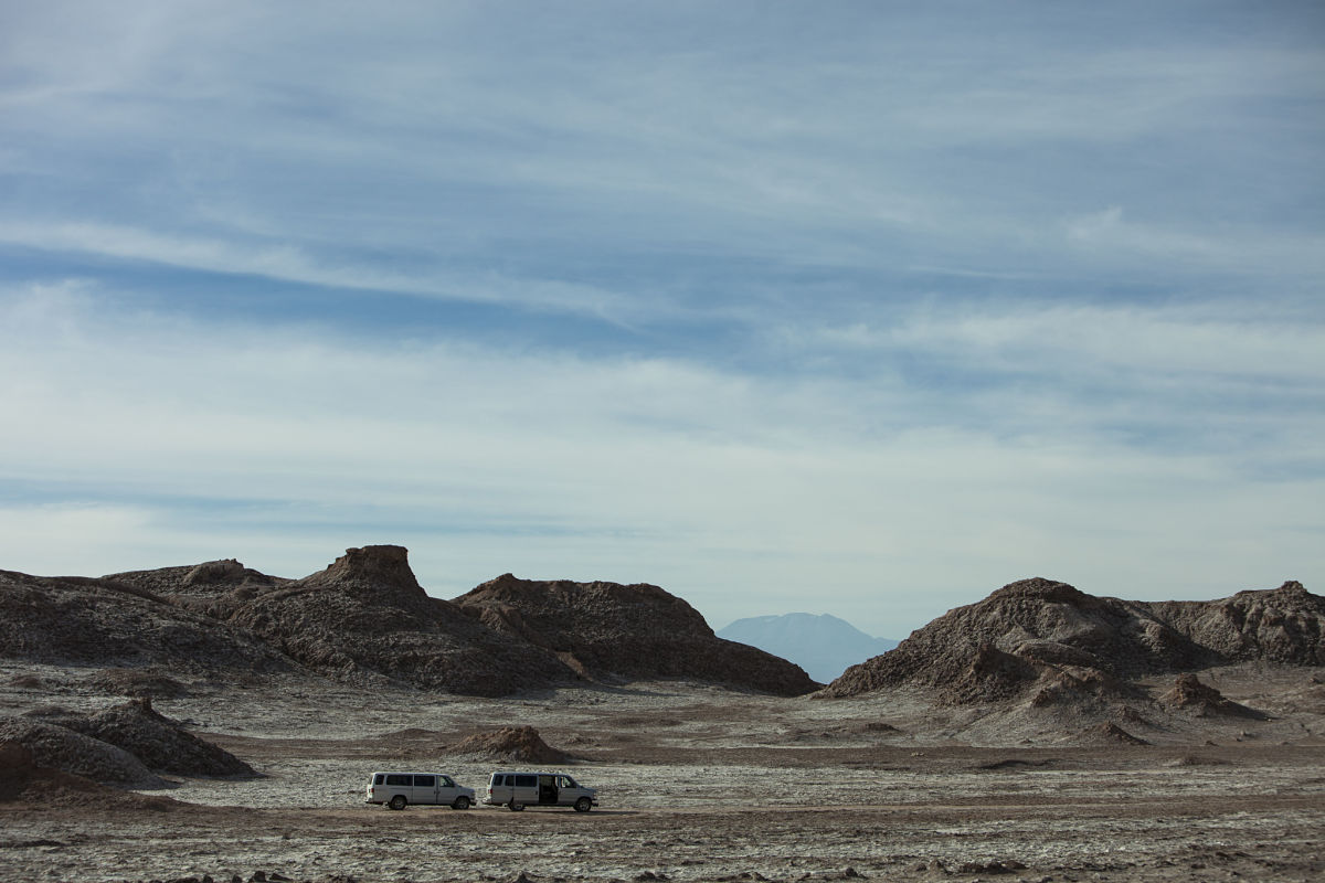
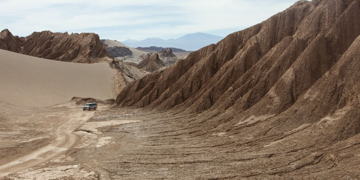
The oasis, the highlands, and the desert surprise us with landscapes that seem to be taken from other worlds, offering us endless exploration prospects.
Trip Itenarary
GEOGRAPHY
THE OASIS OF SAN PEDRO DE ATACAMA
The Oasis of San Pedro de Atacama is located 2,500 meters (8,202 feet) above sea level in Chile’s Region of Antofagasta, in the middle of the Atacama Desert. The oasis is irrigated with the waters of the San Pedro and Vilama rivers, which have their tributaries in the area mountains.
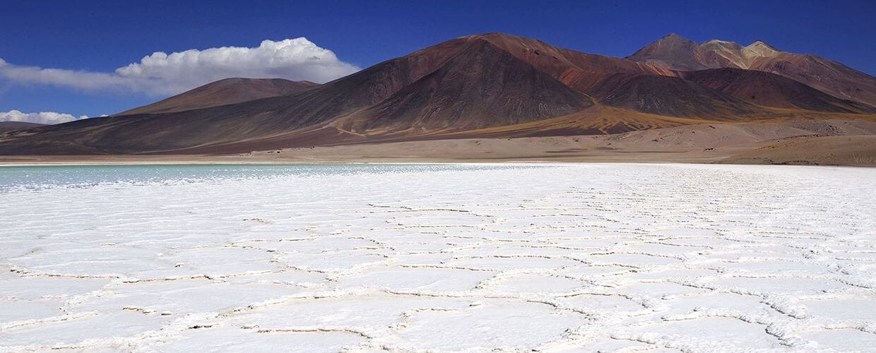
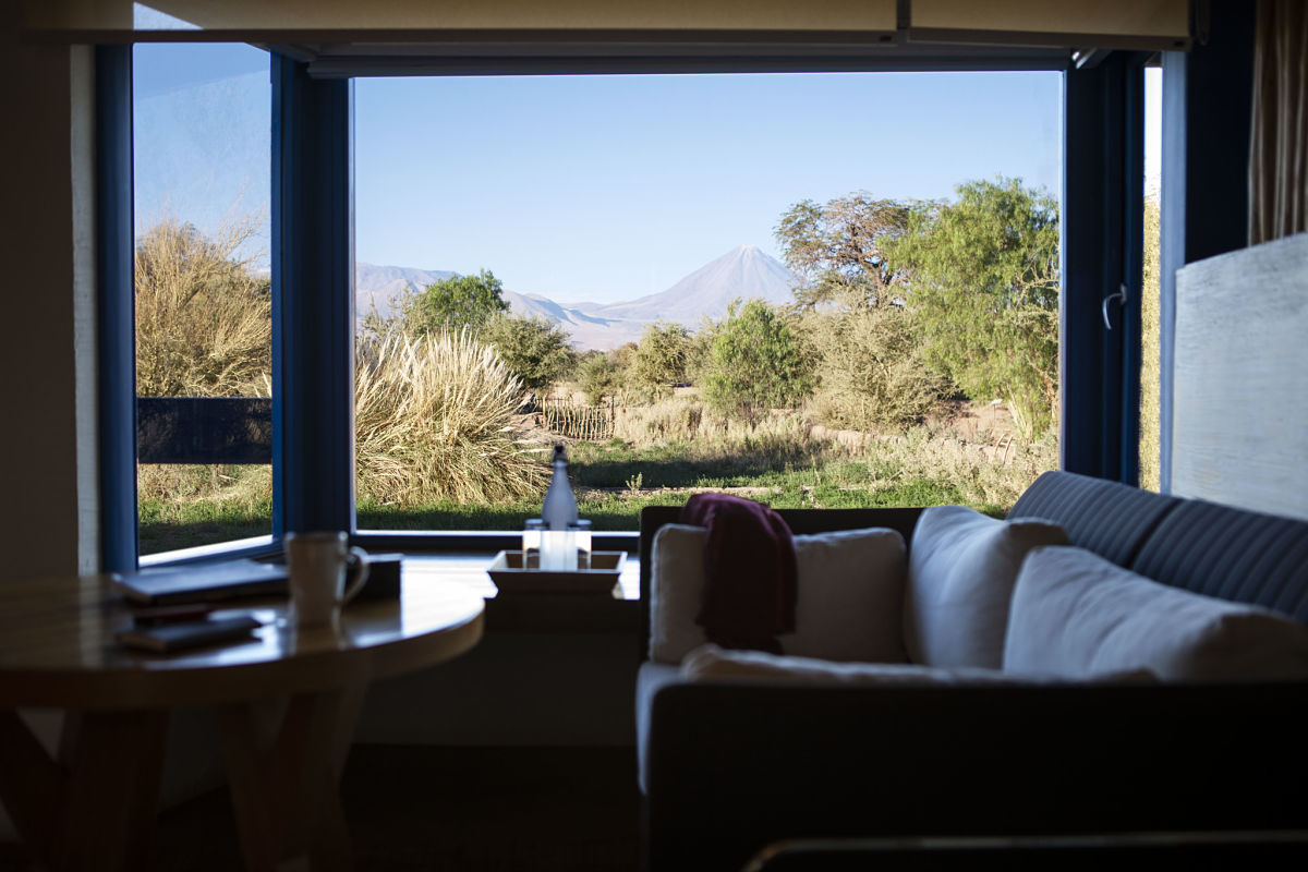
To the east, San Pedro is bordered by a volcanic branch of the Andes Mountains. The volcanoes vary in shape and height, rising between 4,500 meters (14,764 feet) and 6,000 meters (19,685 feet) above sea level. The most striking are Licancabur, Lascar and Sairecabur. This area encompasses part of the Altiplano, a vast high plateau at the base of the volcanoes, extending into Argentina, Bolivia and Perú.
El Tatio Geyser Field
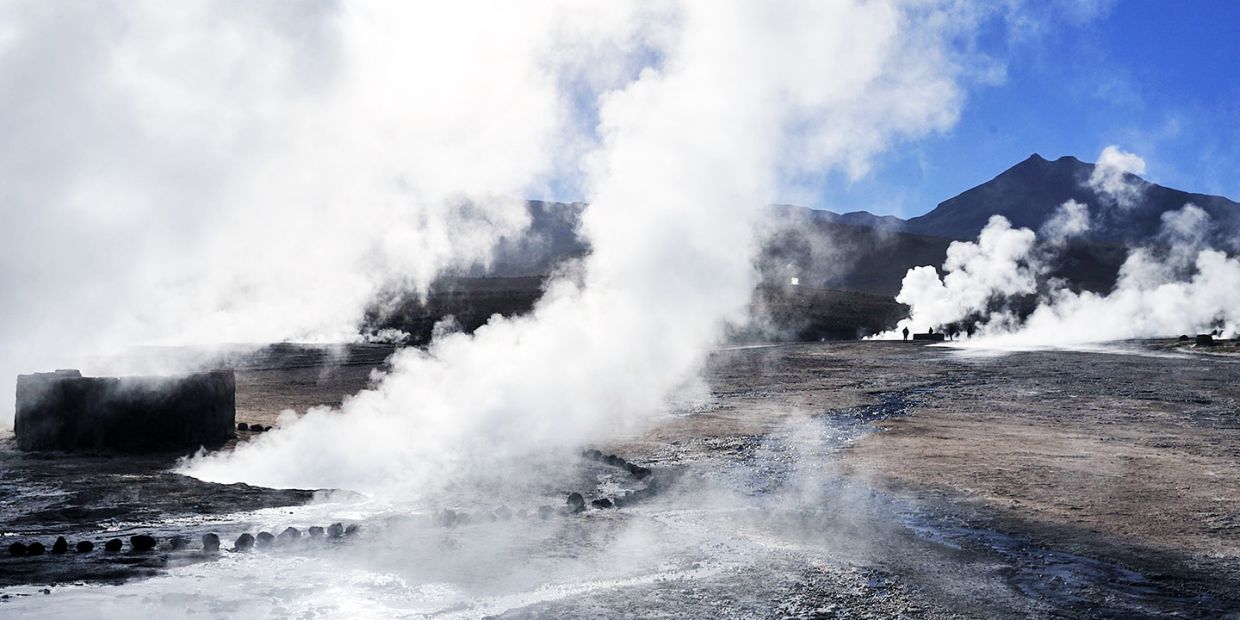
Latin America’s largest geothermic area – El Tatio – is located 95 kilometers (59 miles) from San Pedro, at 4,200 meters (13,780 feet) above sea level, in the Altiplano. El Tatio covers 10 kilometers2 (3.9 miles2 ) and features around 80 geysers.
The eruptions can exceed 10 meters (33 feet), with the water reaching an average temperature of 86º C (187º F), while underground, it has been recorded as high as 240º C (464º F).
FLORA AND FAUNA
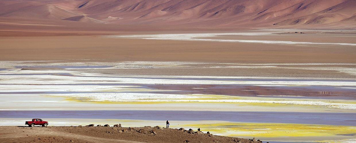
In Atacama, life can be found in even the most unlikely places, such as in the Altiplano lakes, some of which are 10 times saltier than the sea and have little oxygen. A hostile place for most aquatic species, here, the Artemia salina (a species of brine shrimp) thrives. This primitive, 1-cm-long micro invertebrate represents an extraordinary example of adaptation to extreme environmental conditions.
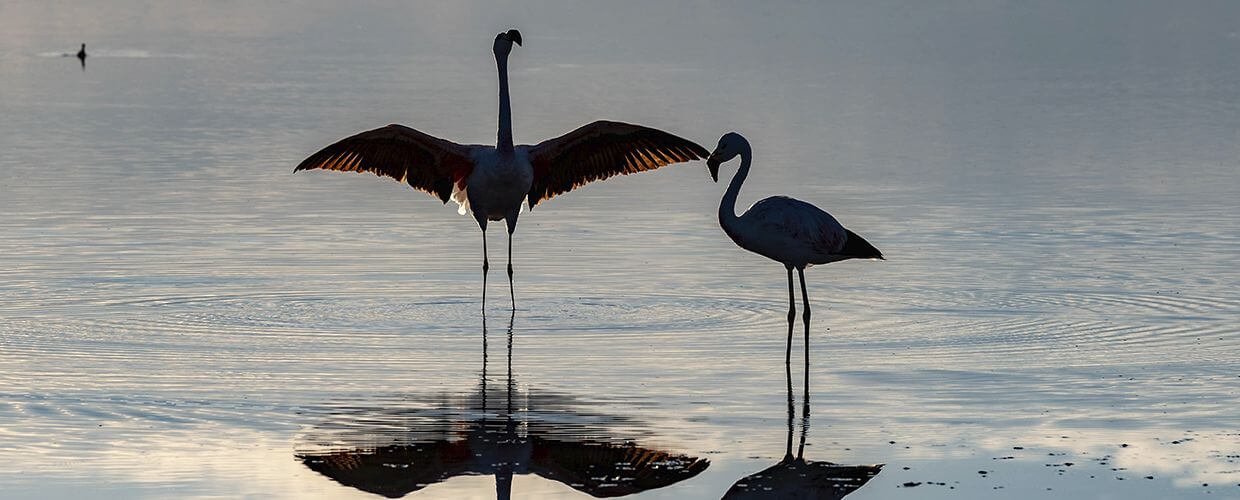
The crustacean’s predator is the flamingo, a wading bird that congregates in large flocks in the shallow Andean lagoons. Flamingos, which average 1 meter (3.28 feet) in height, are easily recognized by their mostly pale-pink plumage and their graceful flight.
The mountain peaks are the home of the condor, the most awe-inspiring bird of the Andes. Other birds native to Atacama are the Andean Tinamou (Nothoprocta pentlandii) and the ñandú (Darwin’s rhea, or Rhea pennata).
Among the area’s larger mammals are 4 members of the Camelidae family: the llama, alpaca, guanaco, and vicuña – all native to the Andes. Smaller mammals include the Andean fox (Lycalopex culpaeus) and rodents, such as the vizcacha and the chinchilla – both of the Chinchillidae family.
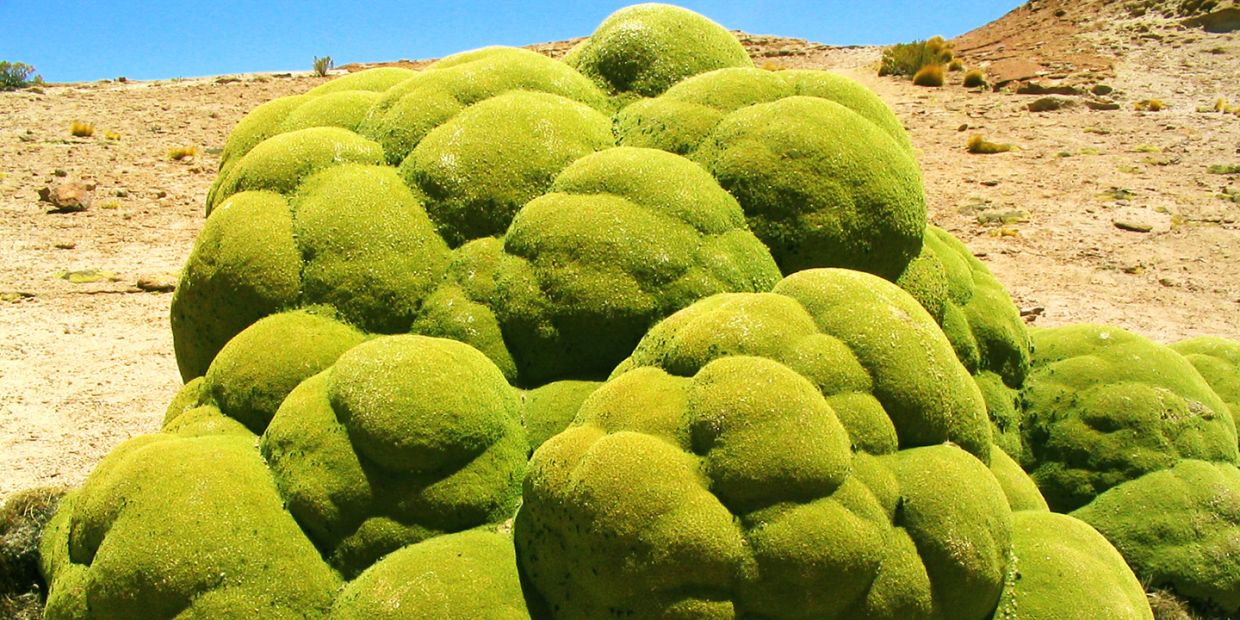
Llareta (Laretia acaulis): Extraordinary Adaptation to High Altitude
This characteristic Altiplano plant represents another excellent example of adaptation. One particularly unusual feature is its hardness, similar to that of the rocks where it grows.
USEFUL INFORMATION
How to get here
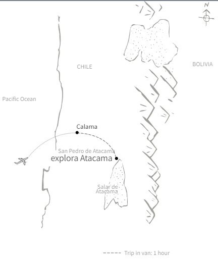
After arriving in Santiago, Chile’s capital city (SCL), you need to take a 2-hour connecting flight to the city of Calama.
At Calama Airport (CJC), a member of our team wll pick you up and drive you to explora Atacama, approximately one-hour away.
Check-in and check-out
Check-in: We recommend arriving at the hotel by midday to take a half-day exploration during the afternoon and start the acclimatization process.
Check-out: We want you to be able to maximize your exploration on this day too. If you leave the hotel in the morning for a half-day exploration, you have to check out before leaving and we will arrange for the safe storage of your luggage. Check-out is by 10:00.
THE CLIMATE
San Pedro de Atacama and its surrounding area have a very dry and mild climate year round. The village gradually grew up around an oasis, and is situated on a high plateau, 2,443 meters (8,015 feet) above sea level, and located just 100 kilometers (62 miles) from Calama, a major city served by El Loa International Airport, or “Calama Airport” (CJC).
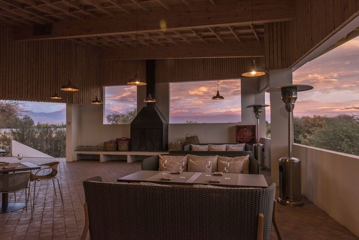
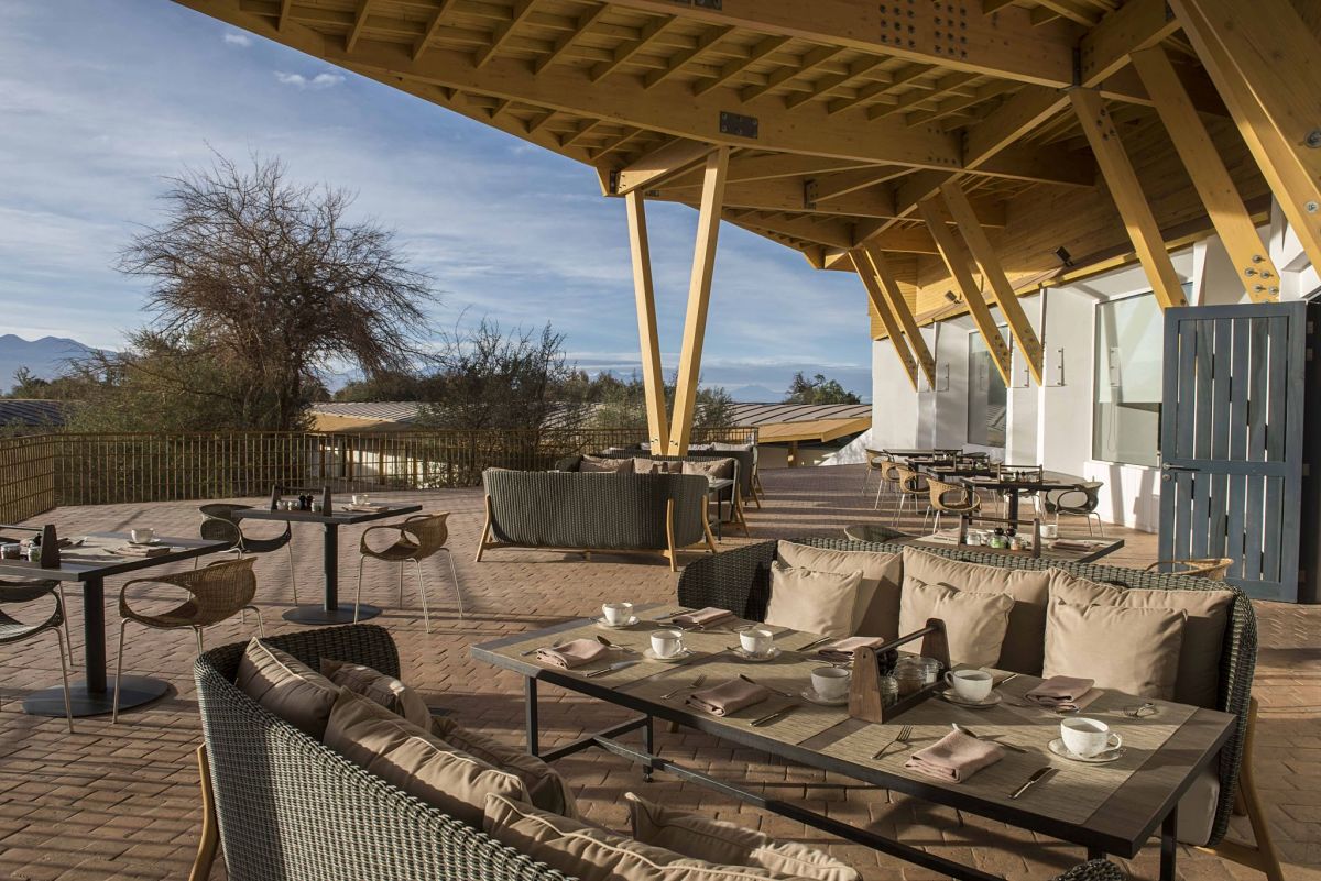
During winter (June – September), the average daytime temperature ranges from 9º C (48º F) to 24º C (75º F) – inviting you to soak up the sun in the lodge’s relaxing lounge chairs, on the terraces or in the glassed corridors. During summer (December – March), daytime temperatures fluctuate between 13º C (55º F; early morning) and 25º C (77º F; evening), with a maximum of approximately 32º C (90º F) – a period of the year calling for an afternoon siesta before joining one of the evening explorations.
Ninety percent of the days are clear and sunny. However, between mid-December and the beginning of March, occasional rains and snow in higher areas result in what is called the Altiplano Winter. During these months and due to unstable weather conditions in the area, some of our explorations could be subject to changes or even canceled in order to protect our travelers’ safety.
Partners


